
Johannesburg in a day
- On September 03, 2014
- By victoria
- In Africa, Johannesburg, South Africa
 0
0
It was a 5 hour drive from Drakensberg to Jahannesburg. To start with the scenery was interesting, mountains, escarpments and dams, once we got away from the Drakensberg it was basically straight roads all the way to Johannesburg. I was staying at Bob’sBackpackers, in the east of the city, handily, very close to the airport.
With only one day in Johannesburg I had to make the most of it, so I joined a tour of the city, Soweto township and visited the Apartheid Museum. I had been warned by numerous people that “Johannesburg is dangerous”, “don’t stay very long” and “don’t go out on your own”. I didn’t feel that way when out and about on the tour, but I had taken the tour partly to avoid trying to find out.
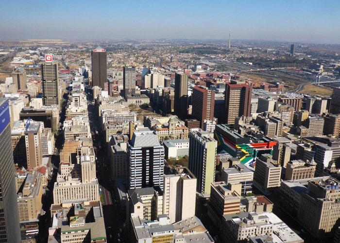
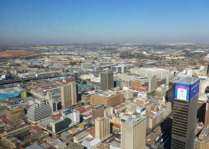
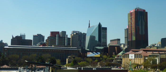
Our guide Jabu was very informative throughout the day, he has been running tours for the past 20 years, he was born in Soweto and lives there now with his family. Our first stop was in the city at the Carlton Centre, which had a lift to 45 floors up, where you could get great views of the city. In cities I always like to get as high as possible to get my bearings, see the layout of the city and pick out the top spots to visit.
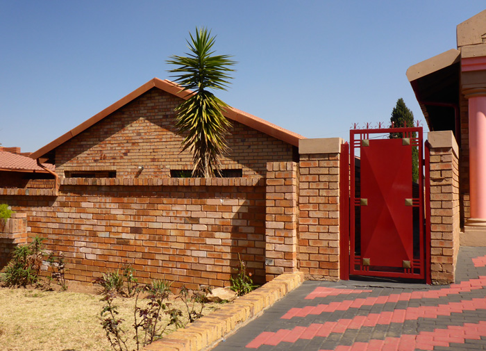
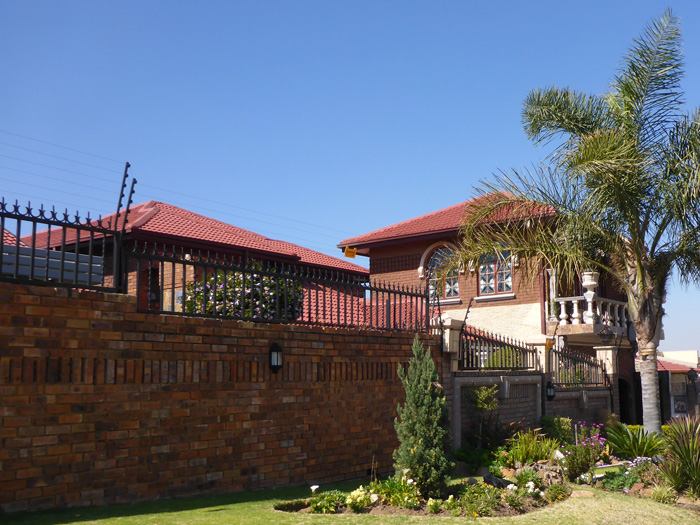
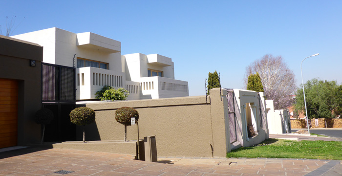
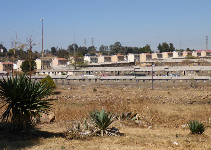
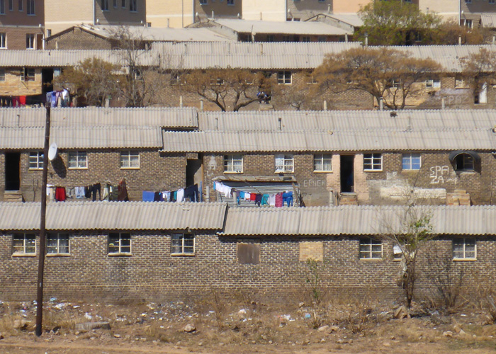
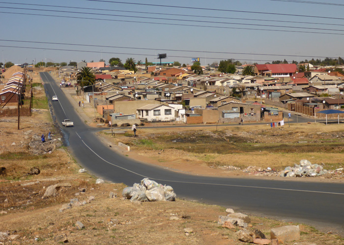
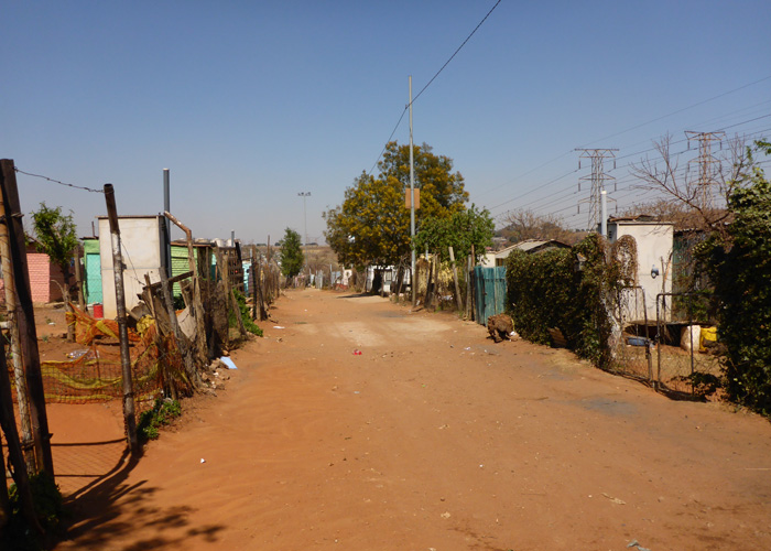
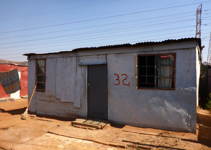
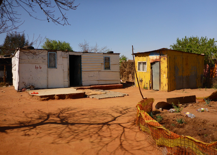
Soweto, coming from “South western township”, was created in 1904 as a place to move non-whites to, out of the city, but allowing them to be close enough to use for work. The population of Soweto is over 4 million, while Johannesburg itself is only 1.5 million. Today there are still tin roofed shacks, but alongside them are purpose built housing schemes and private built houses.
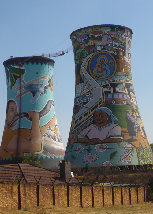
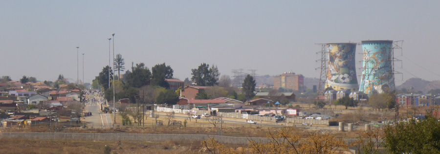
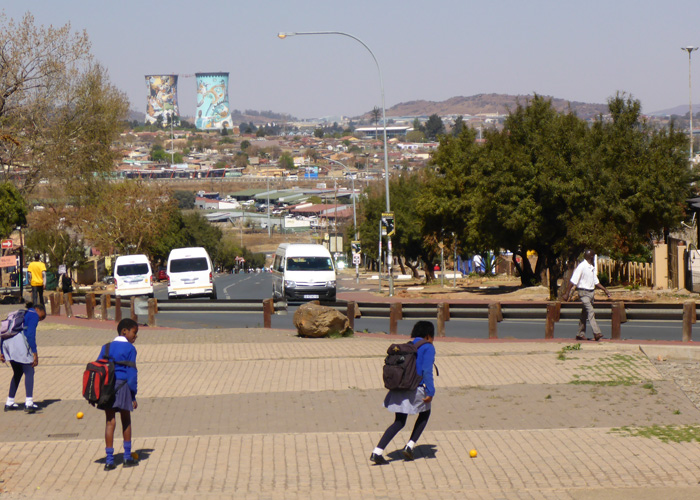
We visited the Orlando Towers, visible form all over Soweto. They are two old decommissioned coal fired power station towers that have been painted in colourful murals depicting events in South Africa and corporate branding. You can bungee from between the two towers if you want!
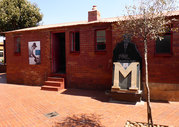
On the road Orlando West, is the original home of Nelson Mandela, now a museum telling his story from when he lived in Soweto, and just round the corner on Vilakazi Street, Desmond Tutu has his Johannesburg home. We had lunch nearby at a restaurant called Sakhumzi, it was a buffet of all different types of South African food.
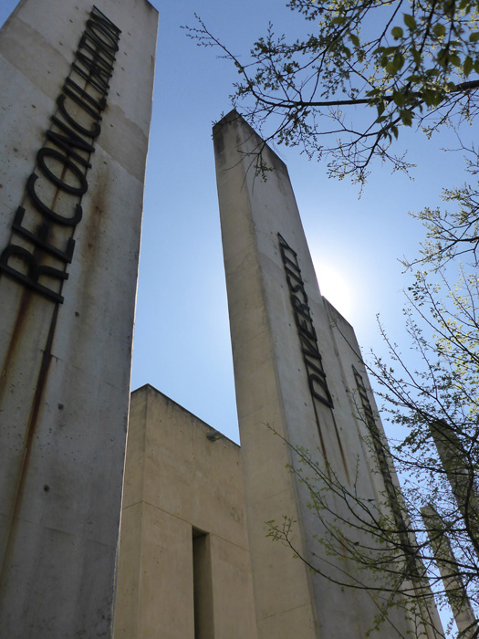
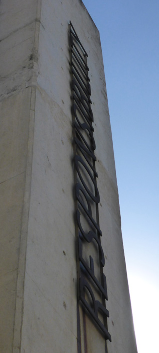
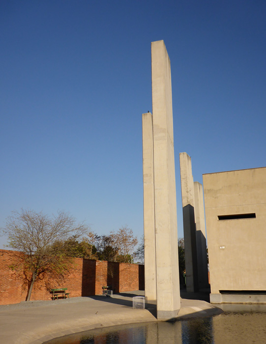
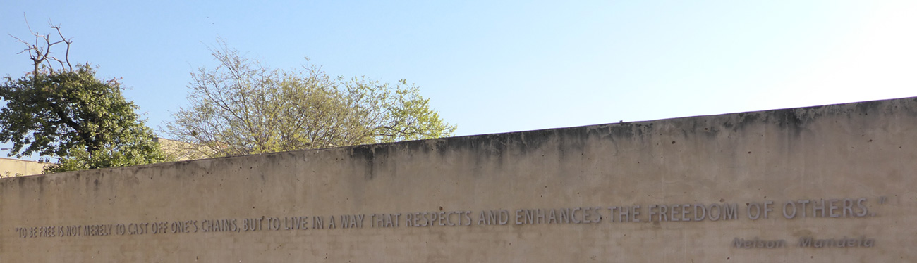
The afternoon was taken up visiting the Apartheid Museum, at first I though an entire afternoon was too much time to spend in a museum, but I was wrong. The museum was very informative, powerful and moving. The museum tells the story of the rise and fall of apartheid. There are 32 exhibits, with some temporary or visiting exhibitions, all laid out on a very easy to follow path. When you are issued your ticket, you are randomly classed on the ticket as white or non-white, this dictates which entrance you use and which path you take through the first exhibit.
There was an extensive exhibition based on Nelson Mandela which was very interesting and told his life story in pictures, videos, words and effects. It was interesting seeing this having visited Robben Island in Cape Town and having visited his house at 8115 Orlando West earlier in the day.
Hiking and biking in the Northern Drakensberg, South Africa
- On September 01, 2014
- By victoria
- In Africa, Drakensberg, South Africa
- 0
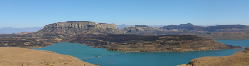
Only a three hour drive from Durban and I arrived at Amphitheatre Backpackers in the Northern Drakensberg, a mountain range that runs along the border between Lesotho and South Africa. First things first, get out on one of the hostels bikes to stretch my legs! There were a few trails around the hostel so I headed out for a couple of hours, the scenery and weather brilliant!
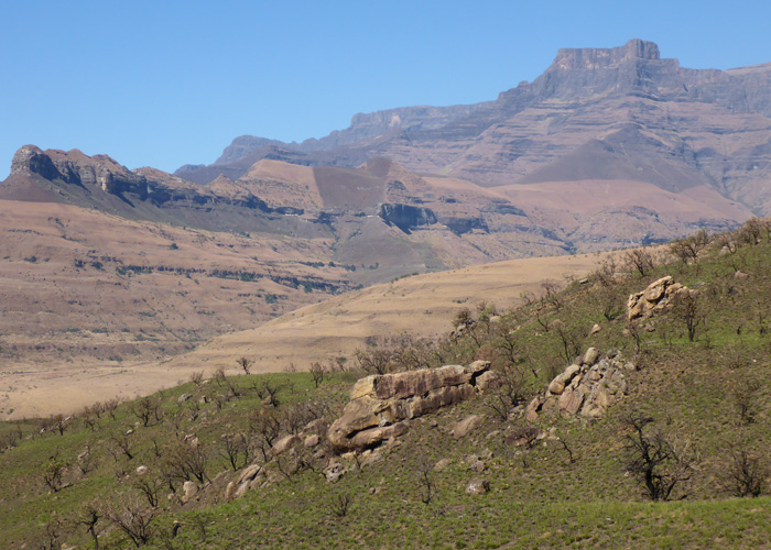
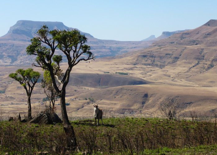
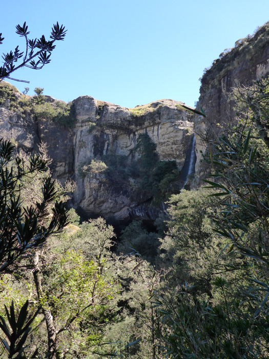
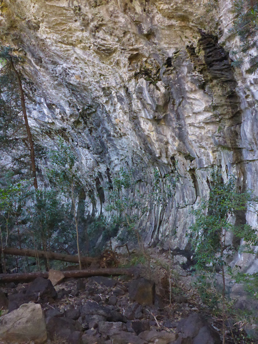
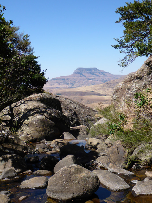
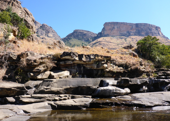
The following morning I took the hostel shuttle to the Royal Natal National Park which was about 25km away, I paid my park fee and got a trail map. All the walks in this park are surrounded by an amphitheatre of peaks and cliff faces. I walked up to Gudu Falls, it took me about three hours, the waterfall itself didn’t have much water flowing over it as it just coming out of winter, and it only fully flows during the rainy season. The weather was great and the walk was beautiful, it took me through dry arid hillsides into the Gudu forest, I isn’t see many animals, only a lone Eland and a few Rock Hyrax quickly running off, there wasn’t another person on the path!
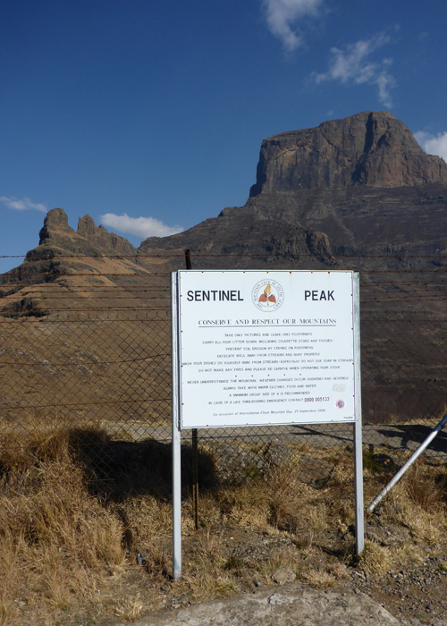
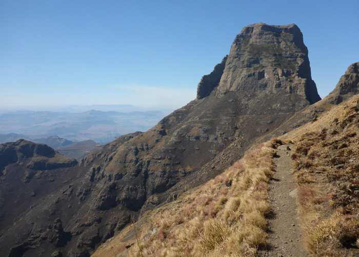
The hostel run a few different tours, I joined their Amphitheatre tour, which took me round the back of where I had been the day before, to the top of the amphitheatre that had towered above me. It was about a 2 hour drive to Sentinel car park at Witsieshoek via a town called Phuthadjhaba.
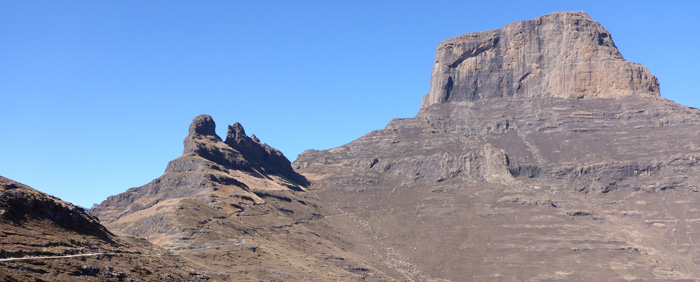
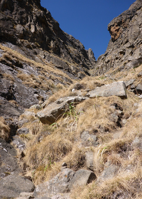
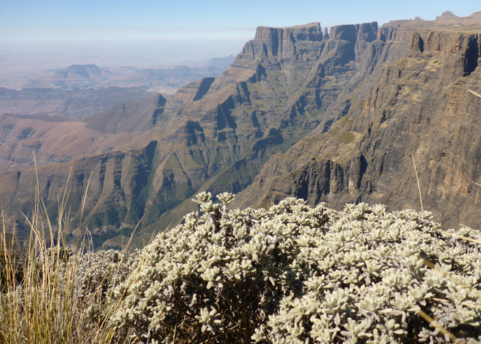
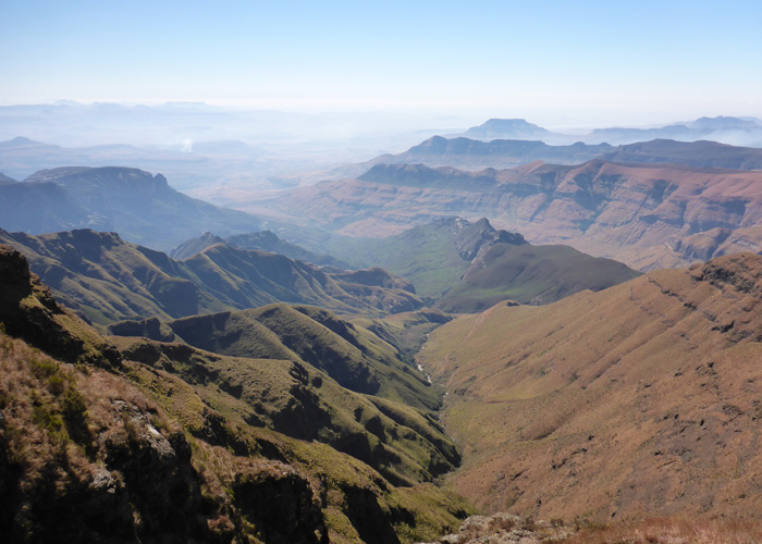
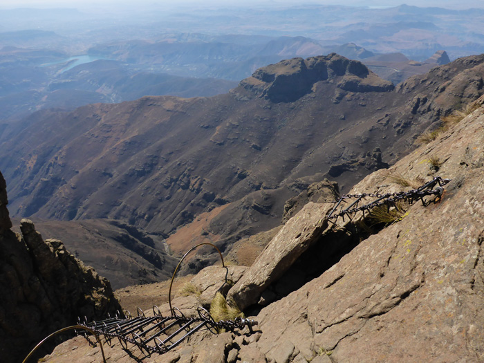
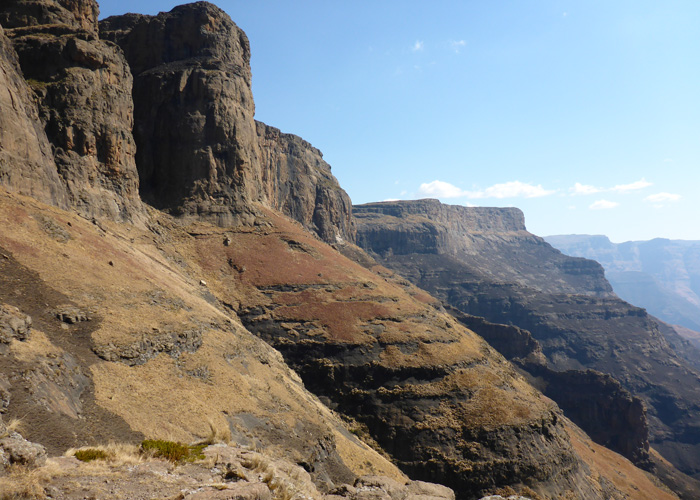
From the car park, it was a few hours walk zig-zagging up and around the mountain side to the gorge, the gorge was the only steep part of the day. When we came out at the top of the gorge we were on top of the amphitheatre, alongside Sentinel Peak. The view from the top was amazing, out over Royal Natal National Park, where I had been the day before, it was a bit hazy, but you could still see for miles!
We walked along the top of the amphitheatre to Thukela Falls, the falls are the highest in Africa, but, there was no water running at all, they only flow in the rainy season, which is just beginning. There were a few pools of water in the bed of the approaching river, some with ice on top, because there was no water you could sit right on the edge where the falls would go, and look over at the long drop off!
You could see some of the hills below were green, some black and some where brown. The brown was just due to it being winter, the black was where they had been burned by fire, whether purposefully or, sometimes not. The green hills were covered in new shoots coming through after having been purposefully burned, the burning is carried out during the months of May to October. One of the nights I stayed at the backpackers I could see bright lines of flames across the hillsides where the fires burned all night. In the daytime you could also see smoke from the fires.
Couple of sunny days in Coffee Bay
- On August 26, 2014
- By victoria
- In Africa, Coffee Bay, South Africa
- 0
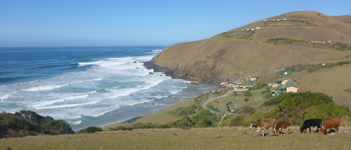
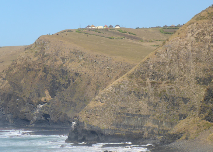
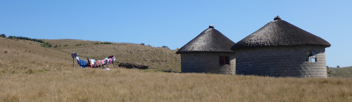
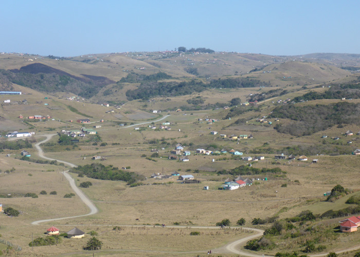
The hour long drive to Coffee Bay from the main road was amazing! The green hillsides were scattered with colourful homes, some round with thatched roofs and some square with corrugated iron roofs. It was raining as hard as I’ve seen it rain for months, and the entire landscape was offset with rainclouds and rainbows, which made it look very atmospheric.
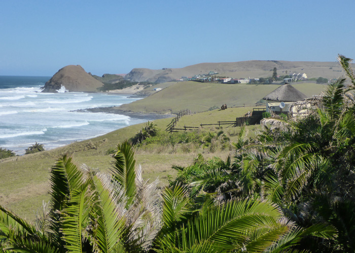
Coffee Bay is a small village on the Wild Coast, I was staying at the Coffee Shack, which sits right on the beach front, if there was an extremely high tide… it would probably get flooded!
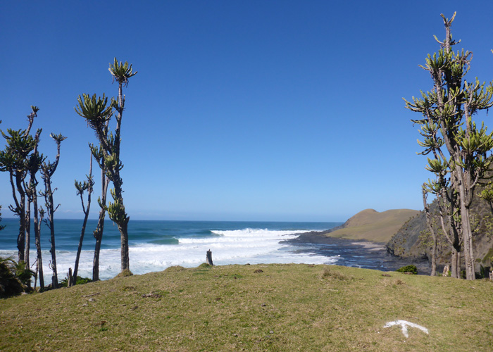
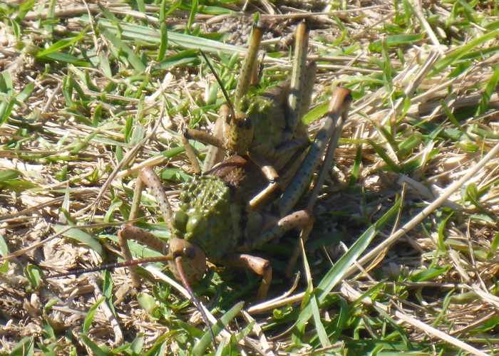
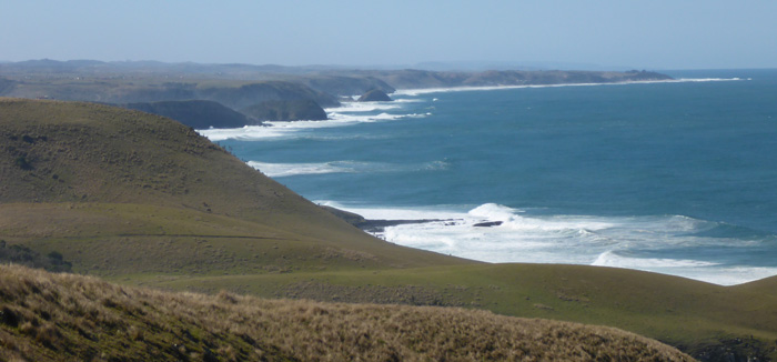
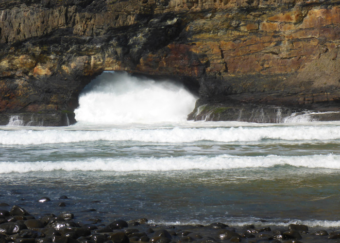
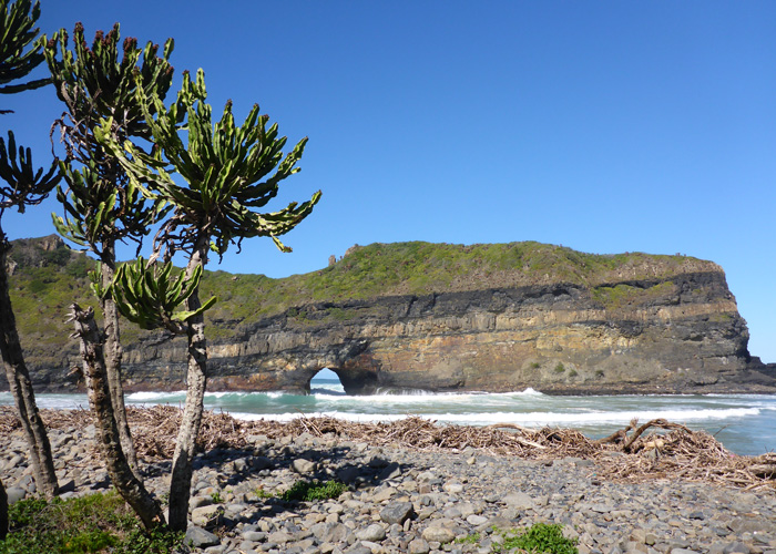
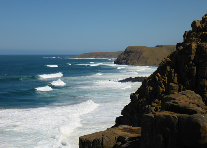
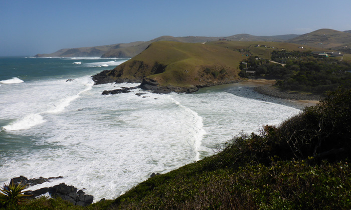
I took the three hour walk along the beaches and cliff tops to Hole in The Wall, where the Robberg paths had been well signposted, here I had to follow intermittent white arrows on the grass, for the most part the path was visible ahead, up and down the cliff top hills and across beaches. It was a beautiful walk, the entire way I could hear the roar of the surf, I went through small villages, and herds of cows, sheep and goats, I also cam across quite a few grasshoppers on the path, one jumped right at me! I had to cross a couple of beaches on my way there, but the tide was in on my way back and I had to go via the cliff tops instead. Hole in The Wall is a small seaside village which takes its name from a hole in a rock which sits just off its shore, I sat and watched the waves crashing through the hole in the wall, it was quite mesmerising, the power and noise that came from them was immense!
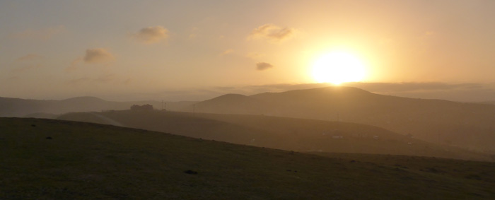
The weather was unseasonably sunny and hot, so I spent a day on the beach just round from the hostel, watching surfers get thrown about, even in the smaller waves. While I’ve been in Coffee Bay, even on the cloudless days, there has been a haze over the land, this was very noticeable at sunset.

Robberg Nature Reserve and Whale watching in Plettenberg Bay
- On August 23, 2014
- By victoria
- In Africa, Plettenberg Bay, South Africa
- 0
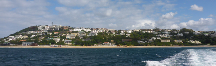
Oudtshroom to Plettenberg Bay on the BazBus and I arrived at Albergo Hostel, it is set back from a white sand beach, in lovely grounds with an open fire for BBQ’ing, it also has a cozy inside area with a lovely roaring fire, and an honesty bar, with nice local red wine!
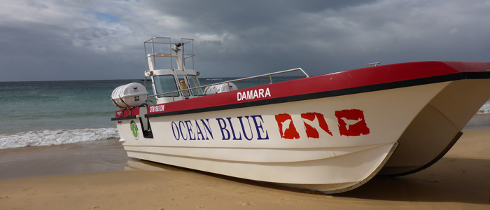
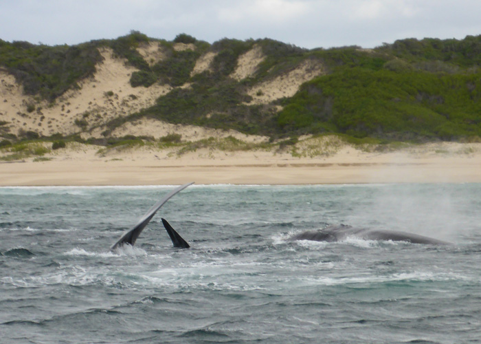
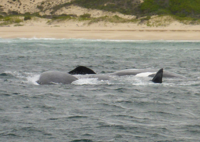
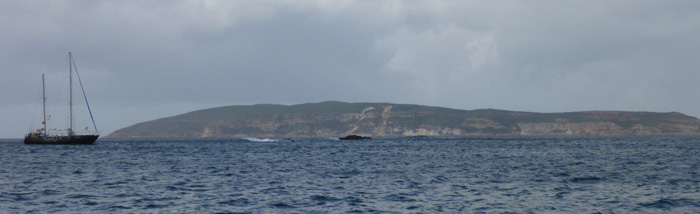
I went our with Ocean Blue on a whale watching trip in the morning. We saw two pods of whales in the shallow water of the bay, they were splashing about and swimming on their sides with their fins out of the water. It is breeding season at the moment and the males encourage the females into shallower waters for mating. Females due to give birth also come into the shallow waters, because when a calf is born, it is born head first and sinks… being in shallow water makes it easier for the female to get the newborn calf to the surface to get its first breath of air. At the end of the boat trip, the way they get the boat ashore was to go full speed ahead, straight onto the beach! It was quite an odd feeling, going fast, straight at the beach, but made for a fun end to the trip!
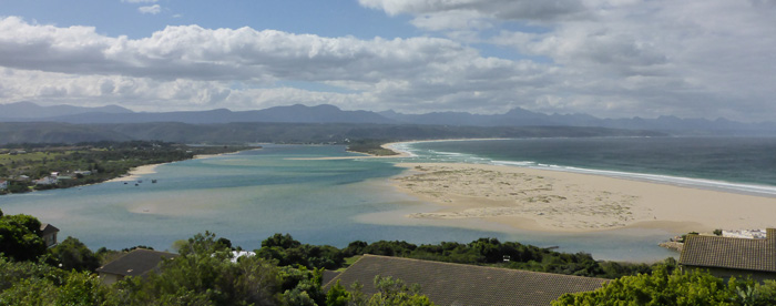
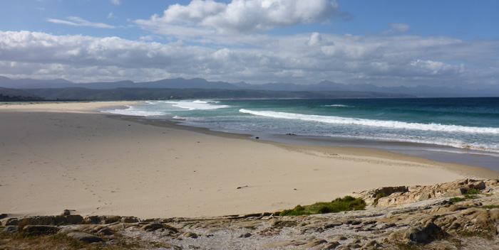
I took a walk to a viewpoint to get a good look at the beach, and the huge waves crashing ashore, only to see the same whales playing in the shallow waters of the bay still. I sat and watched for a couple of hours and saw them breaching a number of times, and splashing about with their fins. On the same beach a kayaker paddled past and three guys were out surfing, not far from the whales!

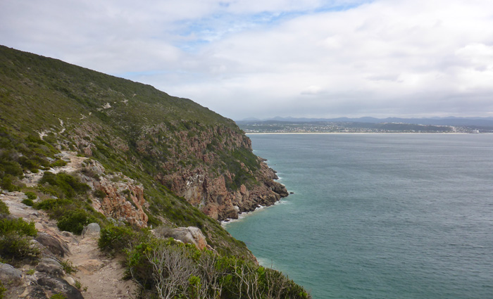
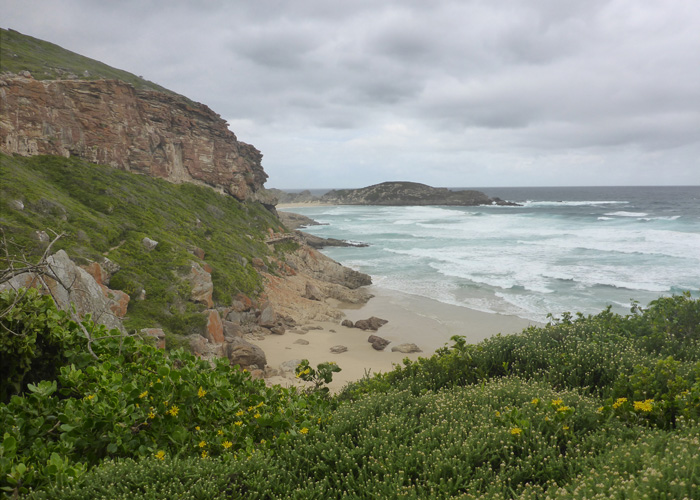
Near to Plettenberg Bay is Robberg Nature Reserve where you can walk round the cliffs. There are a number of walks you can do, I took the longer route out to the point, via a path that went along the cliff edge of the northern shore all the way to the point. There were whales out in the bay again, splashing about and swimming on their sides, there were also Cape Fur Seals at the bottom off the cliffs longing on the rocks and playing in the water.
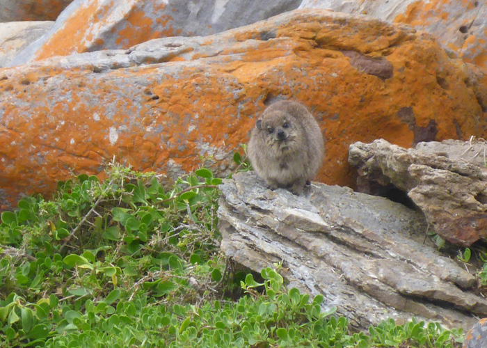
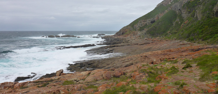
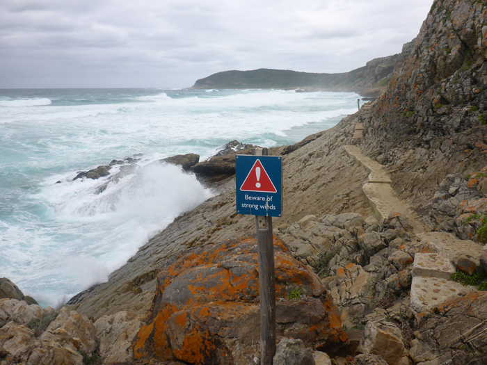
It had been relatively calm, wind wise, but when I got round the point, the full force of the wind was on me. There were huge waves crashing against the rocks and seals playing in the surf. The path back from the point took me right along the waters edge and cliffs, it was spectacular scenery and the weather made it all the more dramatic. There were walkways built onto the side of the rocks at some points, but mostly it was walking paths and sand, in the rockier parts Rock Hyrax were running about, ducking behind rocks as I passed.
Cango Caves and Ostrich Farm, Oudtshoorn
- On August 20, 2014
- By victoria
- In Africa, Oudtshoorn, South Africa
- 0
After a lovely drive with BazBus from Cape Town to George and a 1 hour hostel transfer to Oudtshoorn, I arrived at Backpackers Paradise, a lovely hostel in the centre of Oudtshoorn, where I had a very tasty dinner of ostrich sausage and kebab.
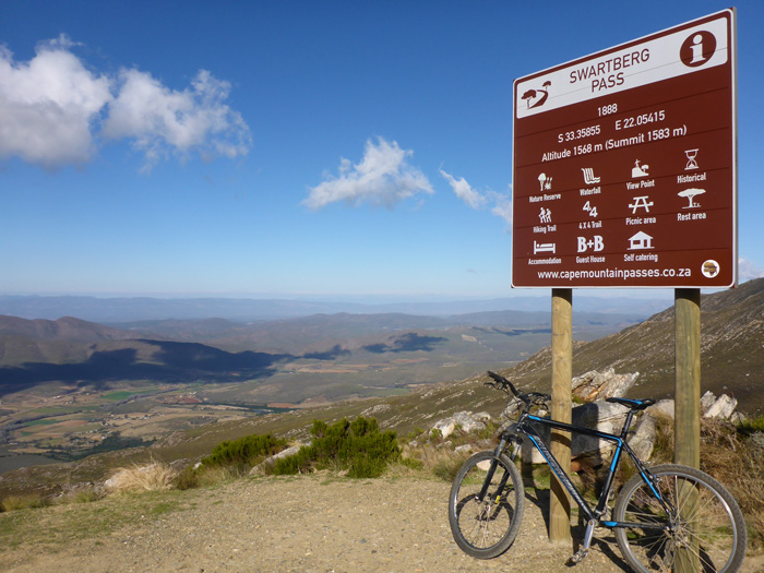
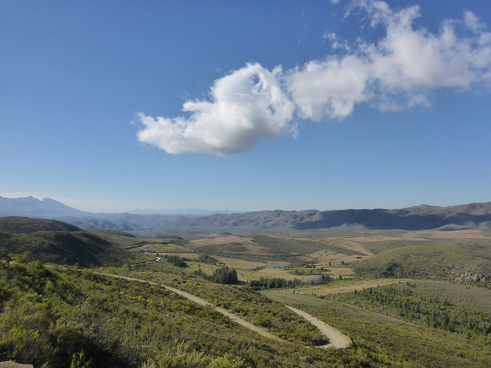
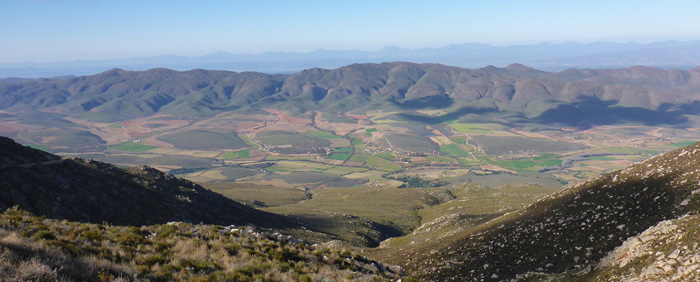
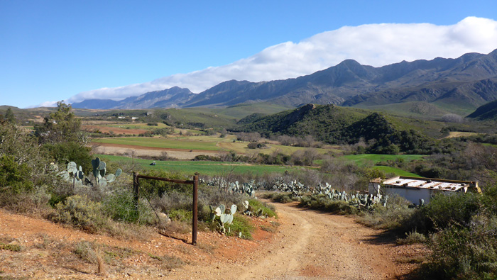
The hostel runs tours of the surrounding area, they would drive you about, or you could take a bike out, so I took one of their mountain bikes out for the day! I was dropped off at the top of Swartberg Pass, which sits at 1583m in the Swartberg Mountain Range. From here it was 30km of downhill on mostly rough road. What a brilliant start to the day, it was so good to get back out on a bike and the views were fantastic! I had a head wind most of the way, which stopped me from going too fast down the winding road.

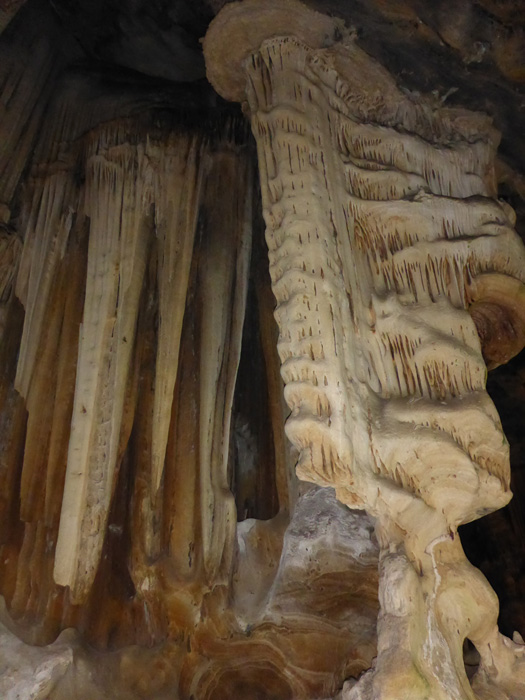
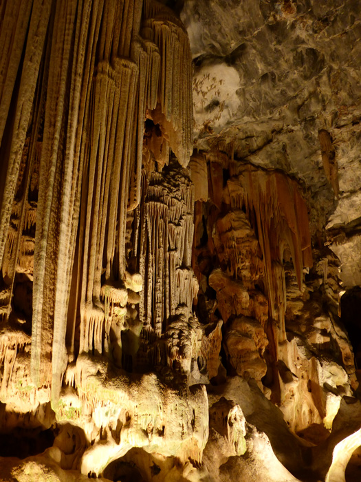
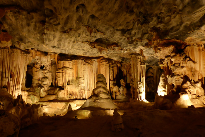
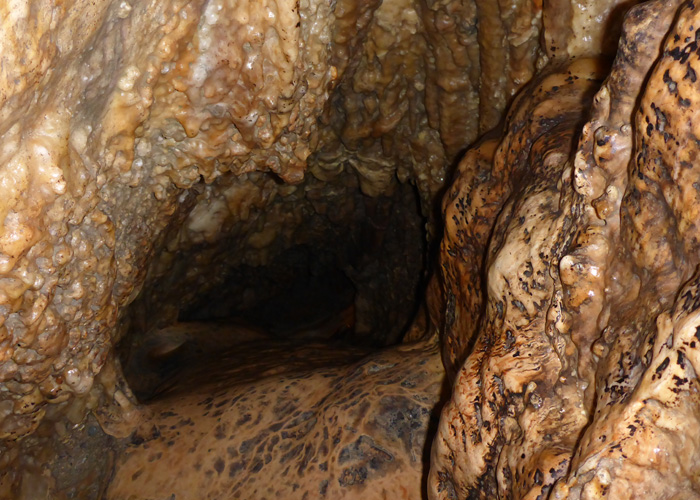
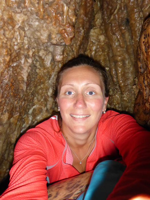
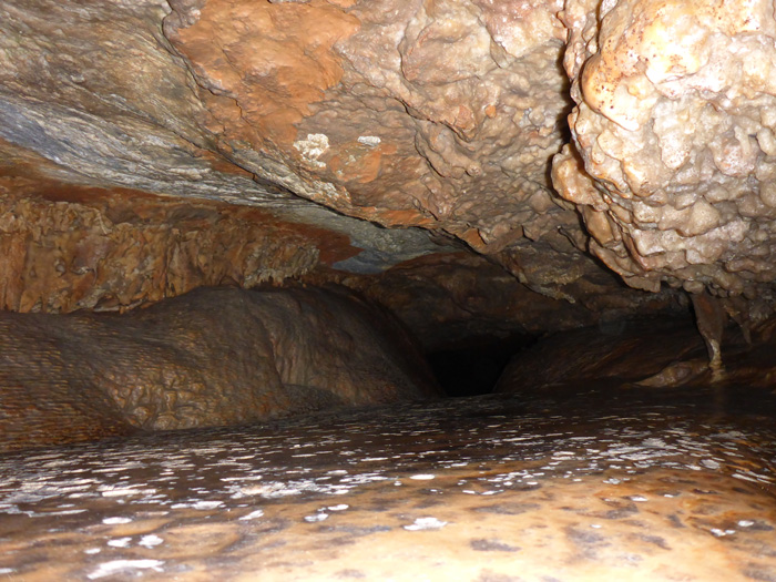
This took me to the Cango Caves, they sit in a limestone ridge alongside the Swartberg Mountains and consist of dripstone caverns, huge halls and towering stalactite and stalagmite formations. I took a tour of the caves which went through two great big halls and into small winding tunnels, it was amazing. The fist thing I noticed when I got into the tunnels was that the temperature had risen and the air was warm and stuffy and lacking in oxygen. A few of the tunnels we went through were rather tight! In one we had to side step through, another we had to crawl up a chimney and the last we had to crawl through on our stomachs. Not advisable for anyone who suffers from claustrophobia! Our guide told us that a lady had once gotten stuck for 11 hours, as the tunnel was too small for her (that’s their polite way of saying, “you’re too big for the tunnel”).
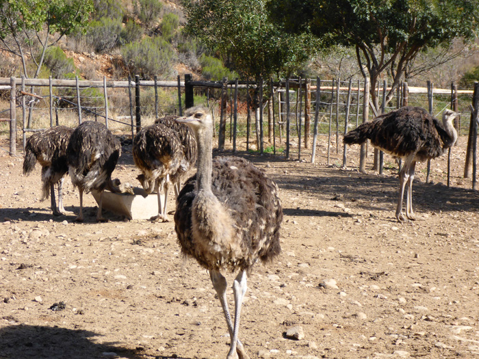
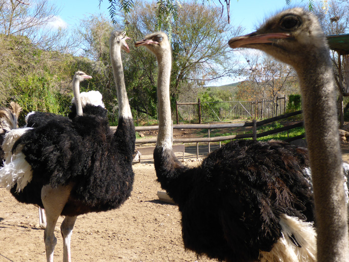
From the caves I carried on down the Cango Valley for 16km towards Oudtshoorn, and stopped at the Cango Ostrich Farm. There are a number of ostrich farms in the valley and you can see ostriches roaming around the fields. Ostriches are bred here for their meat, eggs, feathers and skin, all the restaurants and shops sell ostrich food and products. I took a short tour of the farm which was quite interesting. Ostriches are the largest bird on the planet and can run upwards of 70km hr, but cannot fly, and they are the second fastest animal after the leopard. They are a polygamous animal and the male can have a number of partners, but if the female dies the male will not take another partner. When an egg is laid the female incubates it during the day and the male during the night, this is partially why the female is grey in colour and the male black, to be more camouflaged, when they switch over incubating duties, they turn the egg so it receives equal amounts of heat.



Exploring Cape Town, South Africa
- On August 19, 2014
- By victoria
- In Africa, Cape Town, South Africa
- 0
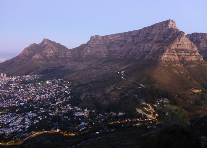
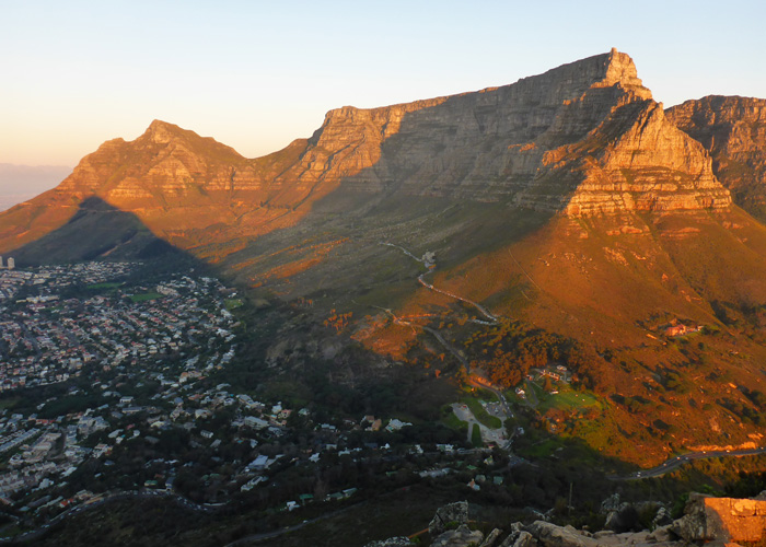
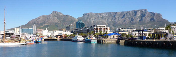
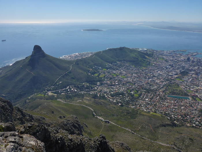
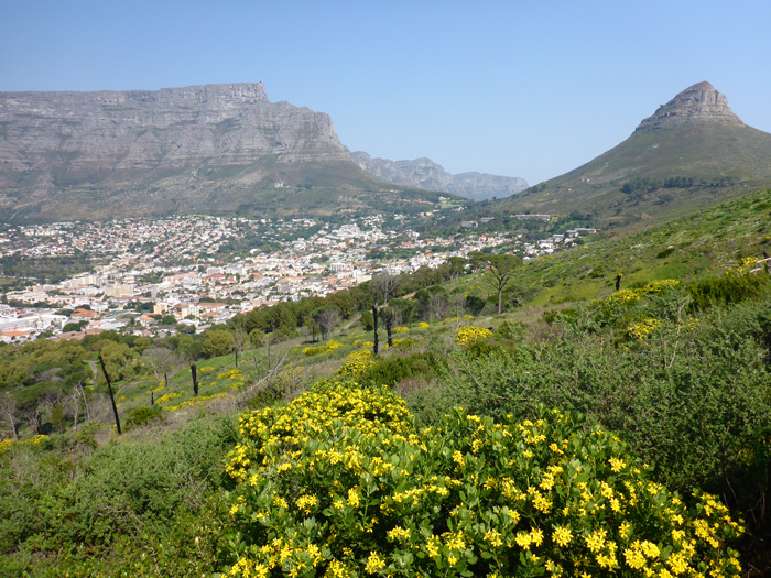
It was a short drive from Stellenbosch to Cape Town, arriving in the biggest city I have been in in quite a while, was like being transported home! We were staying at Ashanti Gardens, it was on the hillside on the way up towards Table Mountain. We had lunch on the deck with the most amazing clear sunny view of Table Mountain and Lions Head, what a welcome to Cape Town!
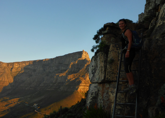
We walked and scrabbled up Lions Head to take in the sunset, the path spirals up, round and round Lions Head, then there is a short via ferrata type section with ladders, chains and staples, before a scrabble up a wide rocky ridge to the top. The views of the city and ocean were fantastic, and gave you some perspective to the actual size of Cape Town and its suburbs. As we descended Lions Head the light was starting to die, and we got a brilliant view of all the city lights on our way down, something I had forgotten about not having seen for a while. Due to the fading light we had to get our torches out and carefully pick our way down the rocks and paths.
It was a rough hour long ferry ride to Robben Island, I don’t normally get sea sick, but I felt a little bit green on this boat trip. The view back towards Cape Town is usually amazing, but it was a stormy cloudy day, so we couldn’t see anything. It was lovely and sunny on the island, but the mainland was still covered in cloud.
The island is a living museum with people living and working on the island, and until recently there was a school there, now the children have to go to school on the mainland. The island only covers an area of 5km sq. the lighthouse, which was converted to electricity in 1938, sits on top of Minto Hill, the highest point of the island at 18 meters. In the past the island has been used as a leper colony and animal quarantine station, but is better known for its use as a prison for criminal and political prisoners. This is where Nelson Mandela was imprisoned for 18 of his 27 years in prison. The current South African president, Jacob Zuma also spent time as a political prisoner on Robben Island.
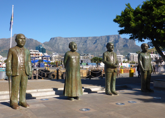
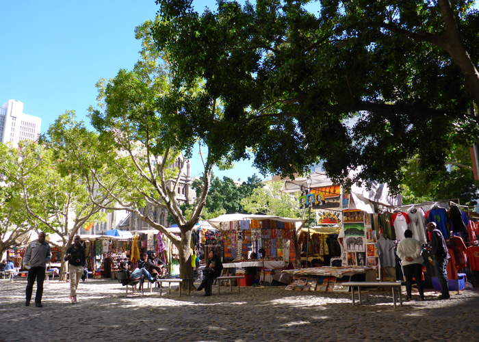
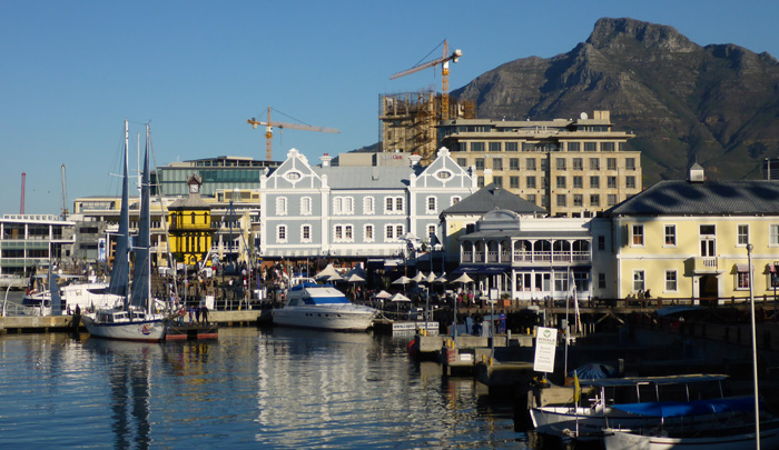
I felt pretty safe wandering around Cape Town, especially around the waterfront, which was a fantastic place to spend a day, watching street performers and boats coming and going. There was a delicious food market at the waterfront, where you could get all sorts of food, we got take away and sat outside in Nobel Square looking at the view and the four statues of Demond Tutu, Nelson Mandela, Albert Luthuli and FW de Klerk. We found a great market in Green Market Square, it had coffee shops all round it and made for a lovely stop after some curio shopping!
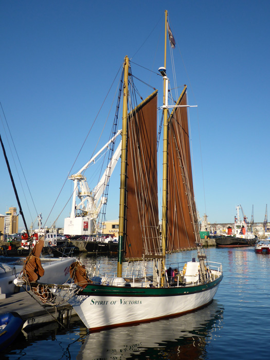
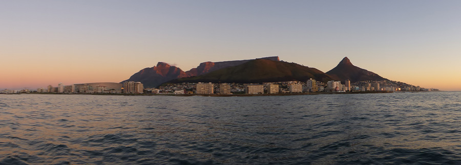
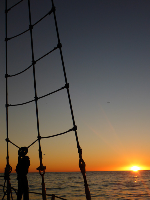
I wanted to get out on the water again in better weather, so I took a sunset cruise on a huge sailboat called the “Spirit of Victoria”. It motored out of the harbour and then hoisted its sails and off we went, the wind was stronger than it looked and we had quite an exciting sail, much to the annoyance of some passengers. We weren’t far out of the harbour before we were joined by a whale, so we sat there for a while while it played not 200m from us. The view from the boat was stunning, the view we had missed the previous day, you could clearly see Table Mountain, Lions Head and Signal Hill, surrounded by the city.
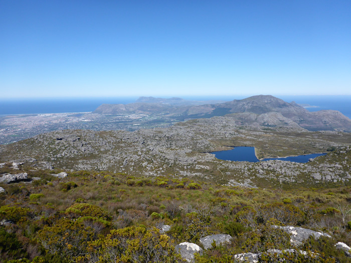
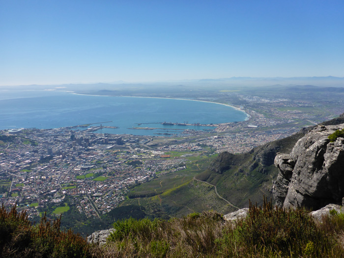
We took the cable car up Table Mountain, during the trip the cabin rotates 360 degrees so that you get the complete view. There are a number of walks around the table top, we walked the couple of hours to Maclears Beacon, the highest point of Table Mountain. The walk took us across the central table, it was another lovely clear day and you could see all the way down the Cape Peninsula where we had been on our day trip. Our route back was along the Table Edge Path, which was at some points, literally on the cliff edge!

Cape Peninsula day tour from Cape Town
- On August 13, 2014
- By victoria
- In Africa, Cape Town, South Africa
- 0
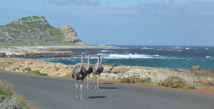
It was a typical winters days, cloudy and raining, felt just like home, apart from the fact it was warm. We were picked up from our hostel for a day trip down the Cape Peninsula to Cape Point and Cape of Good Hope, the most South Westerly point of the African continent, but not where the Atlantic and Indian Oceans meet, that is Cape Agulhas.
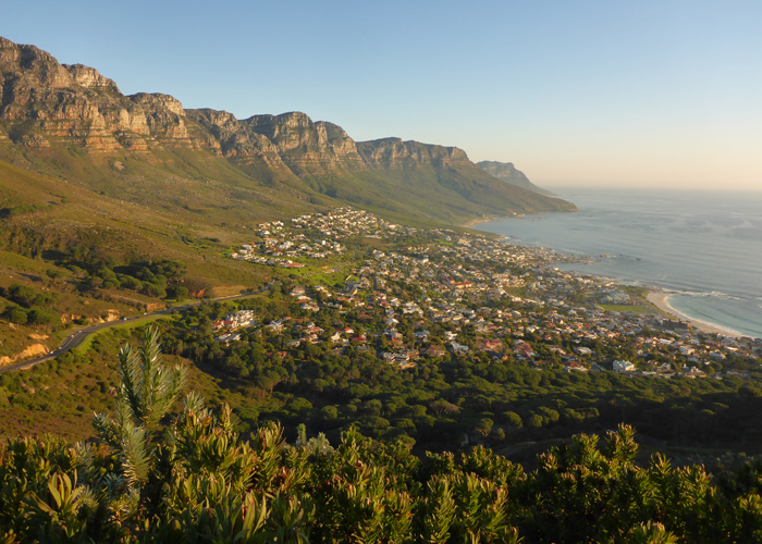
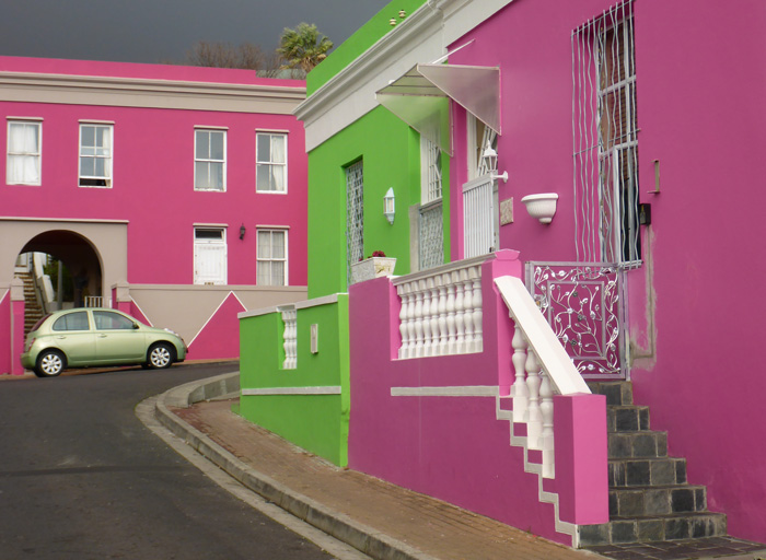
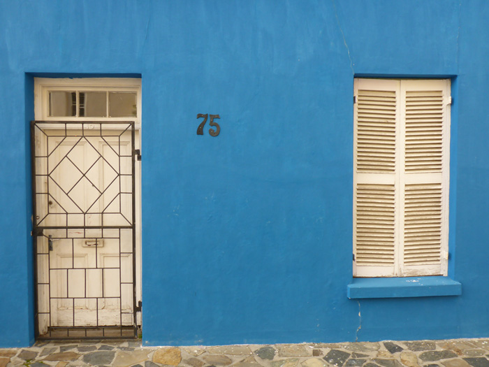
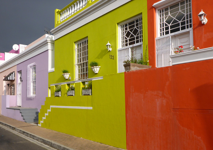
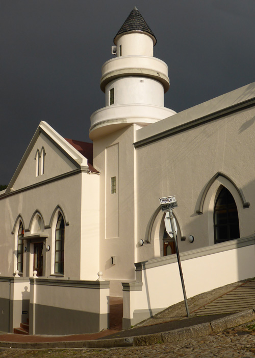
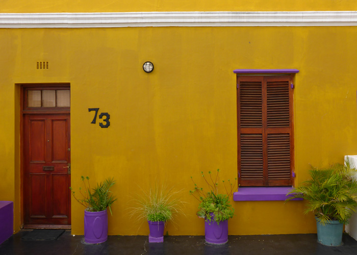
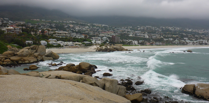
Our first stop was in Cape Town, in the Bo-Kaap neighbourhood, known for its colourful houses and cobbled streets. From here we drove between Table Mountain and Lions Head to Camps Bay, this is where you see a lot of big expensive houses owned by politicians and celebrities. We didn’t meet any…
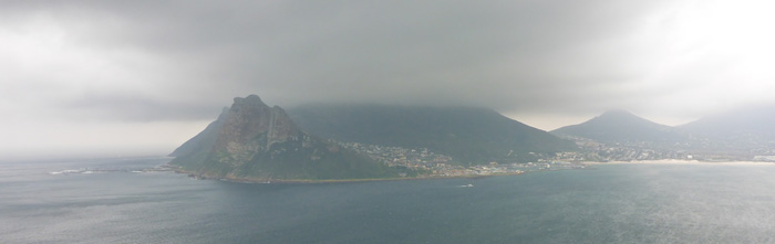
We headed south out of Cape Town down the west coast of the peninsula towards Hout Bay and southwards to Noordhoek. The coastal road was amazing, winding its way along the coast right on the edge of the hillside, with steep drop offs below you and high cliffs above you, the views were amazing, made even more so with the atmospheric cloudy skies!
The peninsula and Cape of Good Hope are part of the Table Mountain National Park (7,750 hectares), which incorporates Table Mountain and the Peninsula mountain chain from Signal Hill to Cape Point. Like any national park we have visited, there was a charge for entering.
We visited the first lighthouse, situated right on top of the point, its slightly shorter than a normal light house due to the height it was built at, but even then it was too high on the rock and was regularly engulfed by clouds, so they build a lower lighthouse, right on the tip of Cape Point, which is still used today.
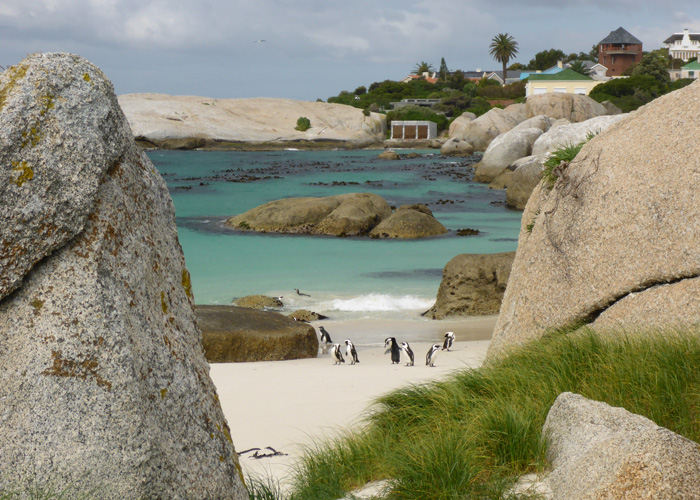
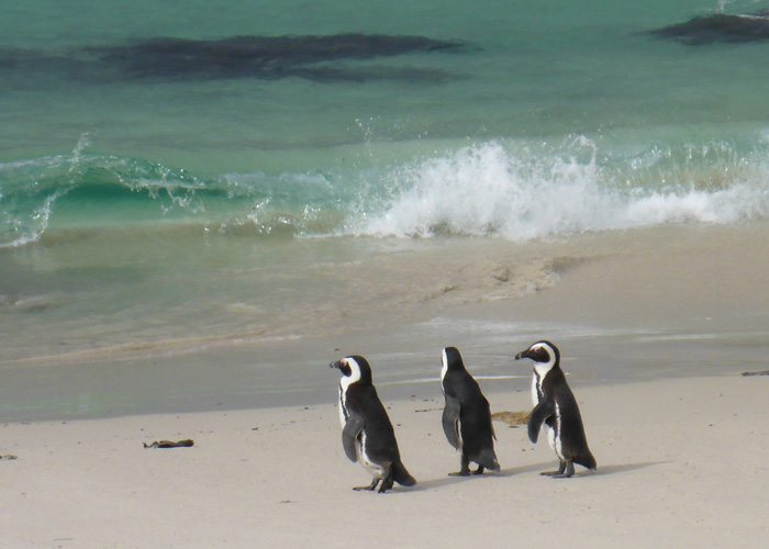
After leaving Cape Point we drove to Boulders, where there is a sheltered cove amongst boulders as old as 540 million years, which is home to a colony of endangered African Penguins. The colony of about 3,000 is descendant of just two breeding pairs introduced in 1982. There are two board walks that take you round the bay to Foxy Beach where you can get a great view of the penguins.
On our way back to Cape Town we stopped for a wine tasting at Steenberg winery, a very good way to finish a great day!



Orange River and Stellenbosch, South Africa
- On August 11, 2014
- By victoria
- In Africa, Orange River, South Africa, Stellenbosch
- 0
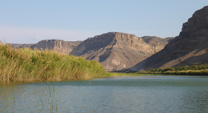
After crossing the border into South Africa (nicknamed “the rainbow nation”) we headed for Fiddlers Creek campsite. The campsite sits on the banks of the Orange River, which sits along the border of Namibia and South Africa.
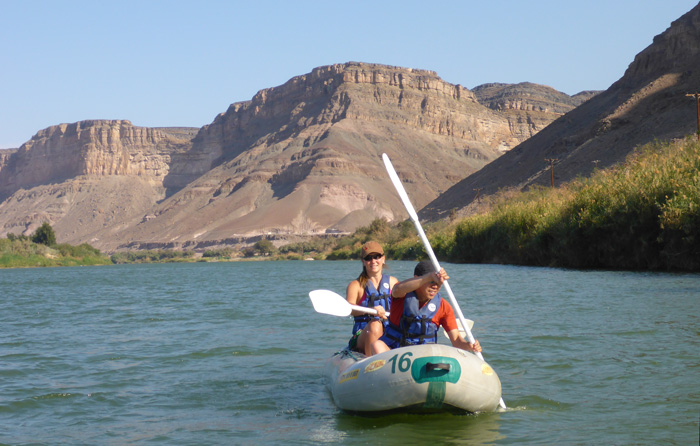
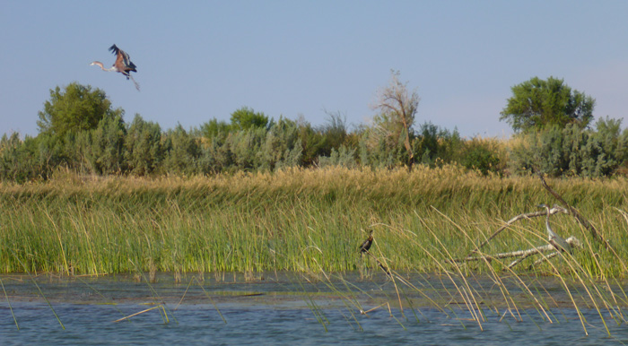
In the afternoon a few of us canoed down the Orange River from about 10km North of the campsite. It was a very scenic paddle downstream, there were a few small rapids and the scenery was quite dramatic with mountains and cliffs around us. Our guide pointed out a number of spots along the river bank where people from Namibia crossed into South Africa without using the border crossings, you could see the reeds on the bank had been bent over by people. We saw a number of South African army vehicles on the river bank roads, our guide told us they were patrolling the border and stopping people from attempting to pass into South Africa.
With a long drive ahead of us we set off south, stopping overnight at Citrusdal, before heading to Stellenbosch. The roads were immediatly different from Namibia, tarmac all the way, cutting through lush green mountainous landscapes, it’s heading into Spring and it was quite noticeable, with brightly coloured flowers appearing along the roadsides and in the fields.
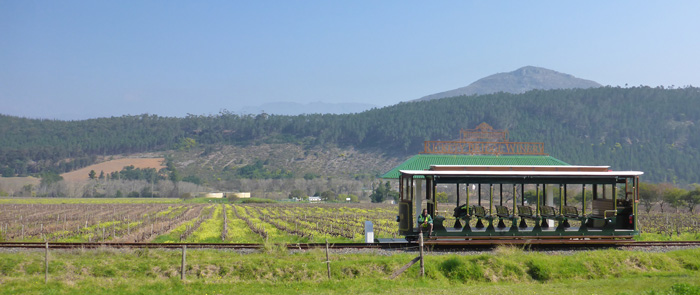
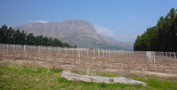
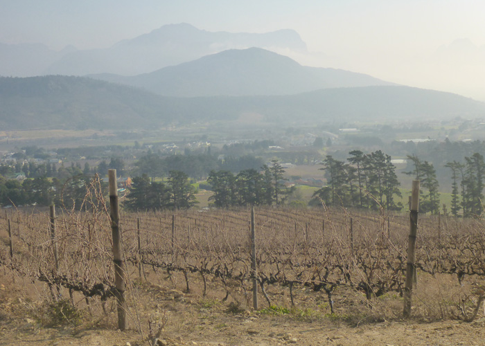
As we approached Stellenbosch the hillsides of the Great Drakenstein and Stellenbosch Mountains were covered in vineyards, there are over 140 wineries in the area and we only visited four of them. Established in 1679, Stellenbosch is the second oldest European settlement in South Africa, after Cape Town. This is very noticeable in the architecture, with heavy Dutch and German influences.
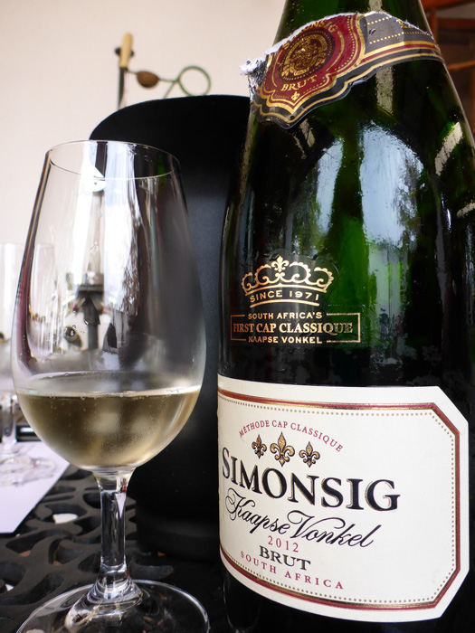
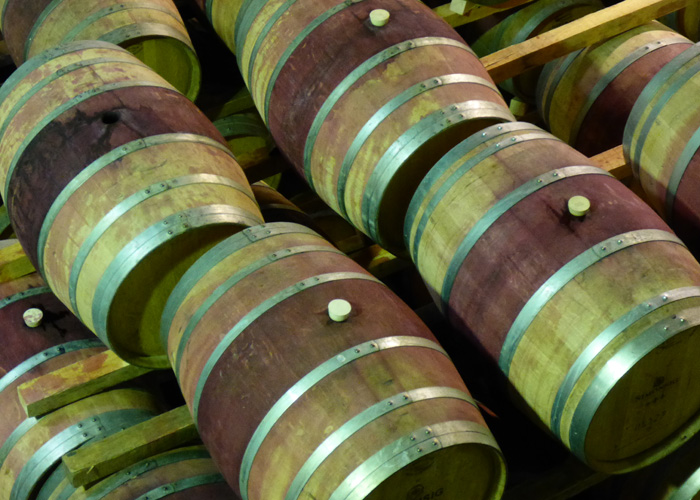
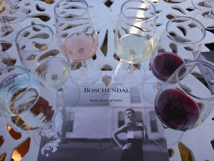
We were staying at the Stumble Inn, quite aptly named as we embarked on our wine tour the next day with Easy Rider Wine Tours. Our first stop (at about 10am!) was Simonsig, we got a tour of the cellars and shown where they make the wines and the processes involved, then we tasted six different wines sparkling, white and red, some I liked some I didn’t, but one thing was for sure, I wouldn’t be sober but the end of the day!
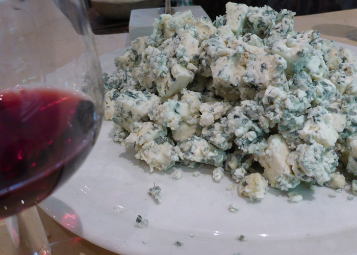
Our next stop was Fairview, where we had a cheese and wine pairing tour, quite interesting, the pairing for blue cheese was sweet red wine (I didn’t agree). We stopped for lunch in the quaint village of Franschoek (French quarter), before heading to our final two wineries, time for a strong coffee!
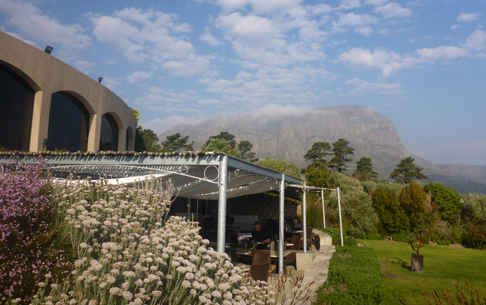
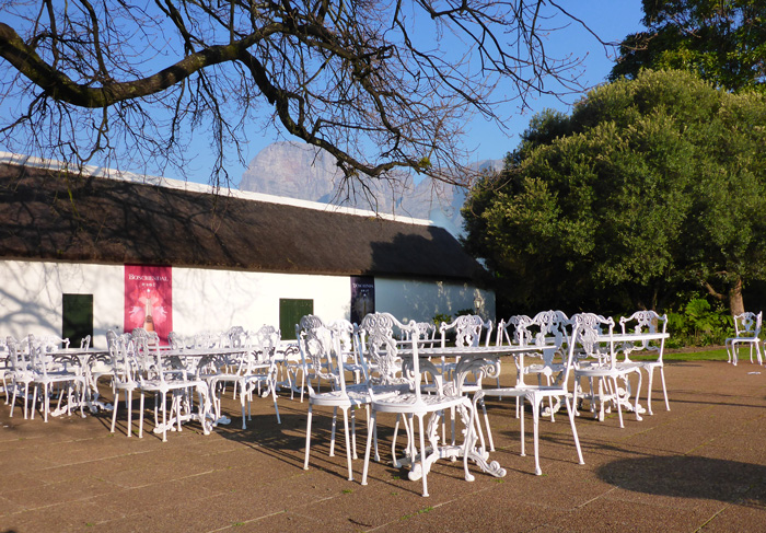
Dieu Donne was our third tasting, it was set in a beautiful location, on the slopes of the Franschhoek Mountains with views out over the valley, whith mountains all round. Our last tasting was at Boschendal, set in beautifully manicured gardens, and you could play boules!
I grew up in Nyeri...not too far from Nanyuki. Fond memories. You've described Nanyuki pretty accurately. Glad you enjoyed your…
Hallo.i have reading now ur article. I live 9 years in Nanyuki and like this life and the ppl. Welcome…
Thank you! Glad you enjoyed it and found it useful. I enjoyed the few months I stayed in Nanyuki last…
Hey Mzungu lassie? Very informative info about Nanyuki and the surrounding areas. I've been there once (for a day) and…
Brilliant pics, You must sleep well, whizzing around on quad bikes up & down the dunes and sand boarding.