
Chobe River cruise and the Okavango Delta, Bostwana
- On July 26, 2014
- By victoria
- In Africa, Botswana
 0
0
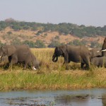
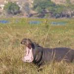
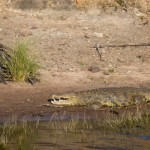
From Victoria Falls we drove the short distance over the border at Kazungula and into Botswana where we set up in Thebe camp in Kasane on the banks of the Chobe River, at Kasane four countries meet, Zimbabwe, Botswana, Namibia and Zambia and two major rivers, the Zambezi and Chobe. From here we went on a river cruise in the Chobe National Park (11,000 sq km), it was so lovely and relaxing after the busy few days we had just spent in Victoria Falls. We saw lots of elephant and buffalo grazing and drinking in the shallow marshlands, there were also a few hippo and we saw one of them giving us a big yawn, but this is a warning sign, not a sign of tiredness. There were quite a few crocodiles basking in the sunshine on the banks, more than we have seen anywhere else.


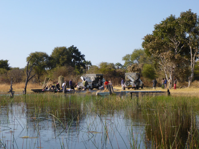
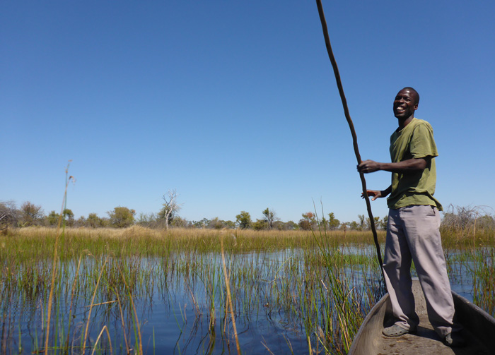
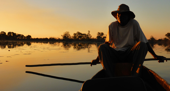
From Kasane we drove, via Nata, to Sedia Camp in Maun. The following day we were collected by Afro Safaris, to go into the Okavango Delta. We arrived at the mokoro station (a mokoro is a traditional canoe carved out of a single tree trunk), all our kit, including tents, sleeping mats, food and cooking pots were loaded into the mokoros’ and we set off, two people and one poler (the person who propels and steers, with a long wooden pole) to a mokoro.
It was such a peaceful trip to our island bush camp, gliding through the reeds and channels of the delta, listening to all the wildlife calls, we stopped off at one point to track a heard of elephants in the bush. Once we arrived at camp all our tents were up and the camp fire was burning. The toilet had been “dug”, literally a hole in the ground with a pile of dirt next to it, there was a shovel that you had to take with you to the toilet, to indicate it was “engaged”, you also used it to shovel some dirt into the hole after you were finished.
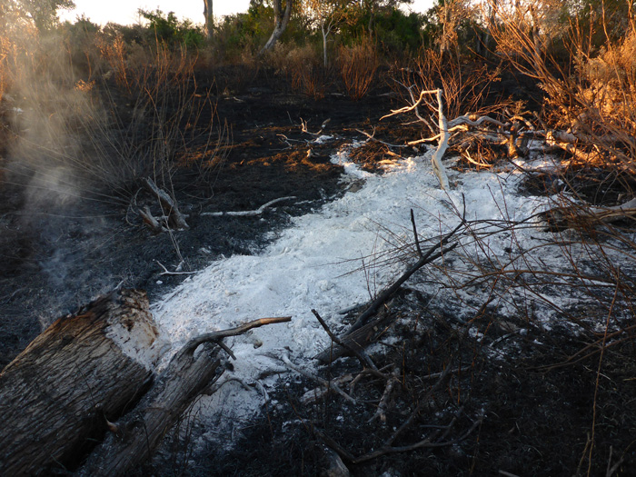
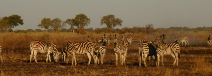
We headed off into the bush for a walk with two of our guides, the only animals we saw were zebra, but the landscape was interesting, completely flat except for hundreds of termite mounds, all of the ones I saw had been abandoned, but they were now used by locals as high points from which to look out over the land. You had to watch your step, otherwise you might fall down one of the anteater holes that littered the ground. There was a lot of charred grass and trees from where the bushmen had set the land a light to burn down the grass to allow new growth and shoots to come through. We cam across one red wood tree which was still smouldering away and had been doing so for weeks, it was ghostly white and you could clearly see the shape of the tree from the ash that had fallen from it.
We used an upturned mokoro as a table to prepare dinner on and cooked on the open camp fire. Then sat round the camp fire while our guides entertained us with traditional Botswanian singing and dancing. The stars, known as “bush TV”, were absolutely amazing, as they have been throughout my travels in Africa, you could clearly see the Milkway, Mars and other planets. You could also hear a lot of animals, frogs, birds and hippos. During the night, if you needed to go to the toilet, you had to be sure to check outside your tent with a torch before getting out of it, because animals could quite easily be right in the camp and surprise you while at the toilet!
We went for a trip on the mokoros for a couple of hours, through narrow channels in the reeds, with the odd acacia bush that will attack you in your mokoro. We ended up in a big open pool full of waterlilly’s just before sunset, only to see the head of three or four hippos popping up and blowing water up in big spurts, then disappearing again, only to reappear closer to us, it was great to watch them at such close quarters.
I had a go at poling one of the mokoros, initially I could only make it go round in circles, or backwards, but eventually I got the hang of it, you had to use the pole as a rudder after every pass, the guides made it look so easy.





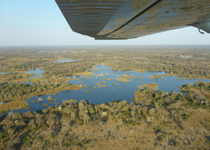
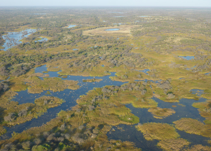
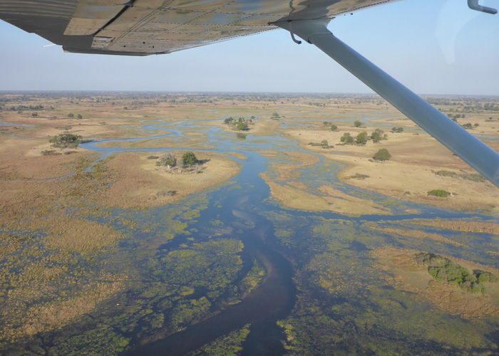
Our second visit to the delta was very different from being on the ground, we took a 45 minute flight over it with Delta Air in a very small, one propellor, 6 seater plane. It was absolutely spectacular, the landscape was just amazing, you could see rivers winding their way across the land, through pools of water, you could see lots of marsh lands and make out the channels we had just travelled through on our mokoros, and we saw so many herds of elephants, along with hippo, zebra, giraffe and impala.


Victoria Falls, Zimbabwe
- On July 21, 2014
- By victoria
- In Africa, Zimbabwe
- 0
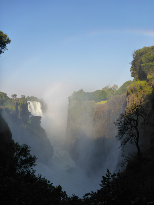
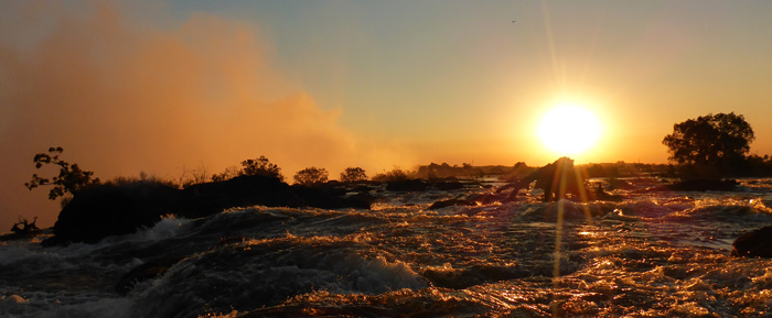
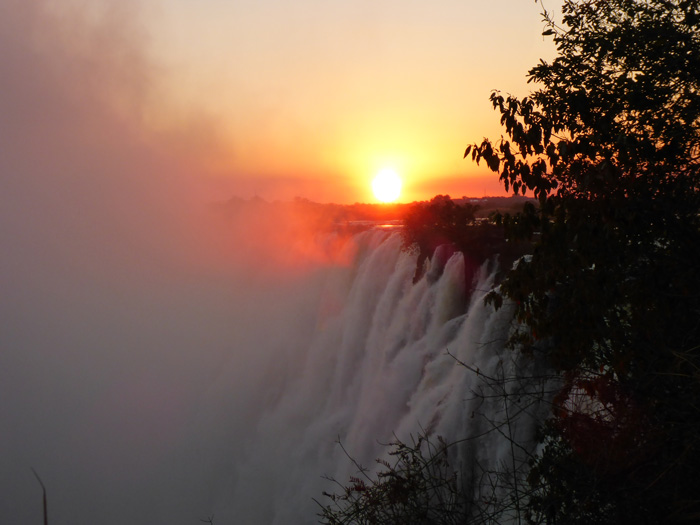
On approach to Victoria falls I could see the plume of mist rising from the falls and smell the moisture in the air, which, up till then had been very dry an dusty, I could also hear the sound of the thundering water. The falls sit right on the border of Zimbabwe and Zambia, we were camping at Shoestrings Backpackers in the town of Victoria Falls on the Zimbabwean side.
When we first arrived we visited the “big tree” which is a huge, old Baobab tree, measuring 18m in girth and 25m in height and between 1000 and 15000 years old.
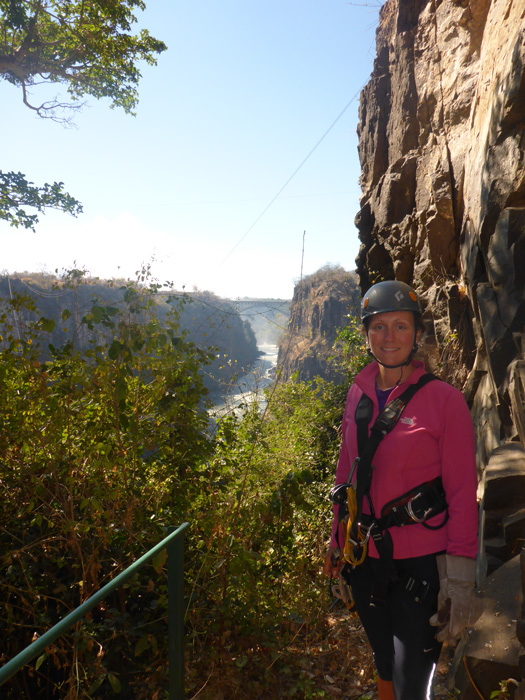
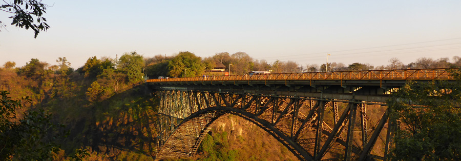
On our first day we were collected by Wild Horizons to do a Canopy Tour. This consisted of 9 zip lines criss-crossing the gorge, the longest was about 85 meters, they were connected by wooden walk ways and steps. It was great fun and gave good views of the Zambezi River (second and third gorge) and the Victoria Falls bridge connecting Zimbabwe with Zambia. You could also see other people doing the flying fox, big zip line, gorge swing and bungee jump from the bridge.
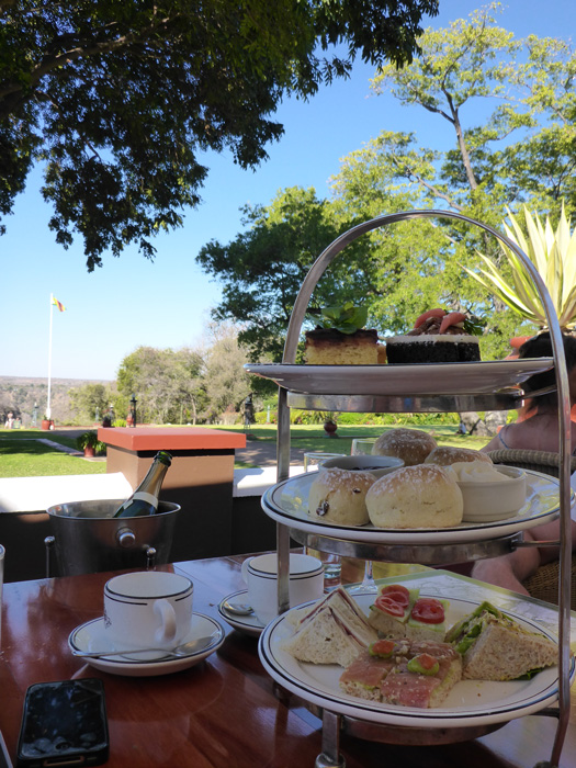
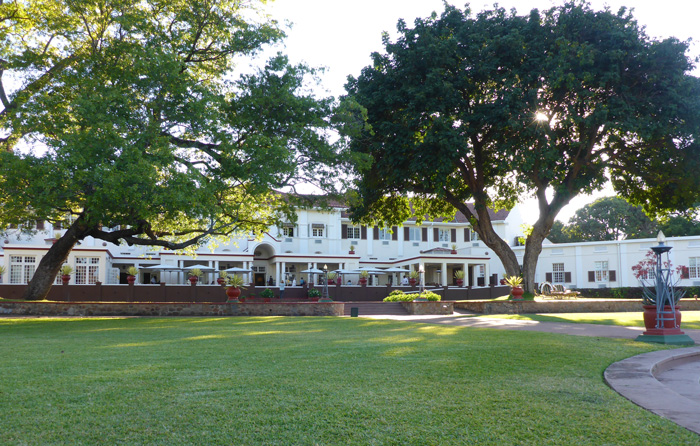
We visited the Victoria Falls Hotel which was built in 1904 and is the oldest in Zimbabwe. The hotel sits just above where I did the canopy tour, and had a great view up the river to the bridge, and beyond you could see the plume of mist rising from the falls, it is a beautiful building, with manicured lawns, a roaming warthog and a veranda where we had afternoon tea.
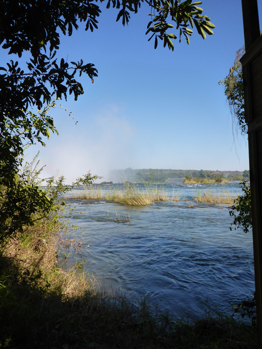
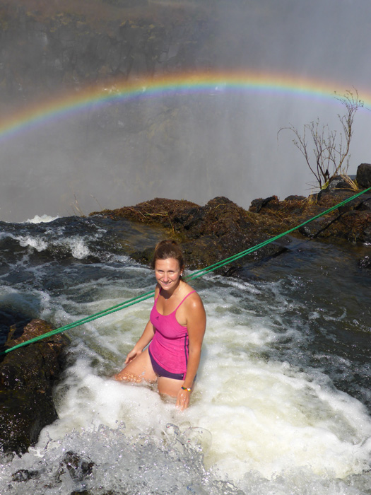
From Victoria Falls, we walked over the bridge and through the border controls to the Royal Livingston Hotel, from here we took a short boat ride across to Livingstone Island, this is where Dr David Livingston first viewed the falls from in 1855 while on his boat journey down the Zambezi River. We visited Angels Pools, which sit right on top of the falls, with a 108m drop over the edge, the current in the pools was quite strong, there were a couple of ropes to hang onto if you wanted, but our guide just stood quite happily right on the edge! Normally we would have visited the Devils Pools, but he water level was too high. After the pools we had breakfast on the island and visited the “loo with a view”, which looked right out over the rapids approaching the falls.
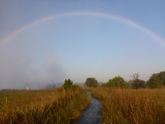
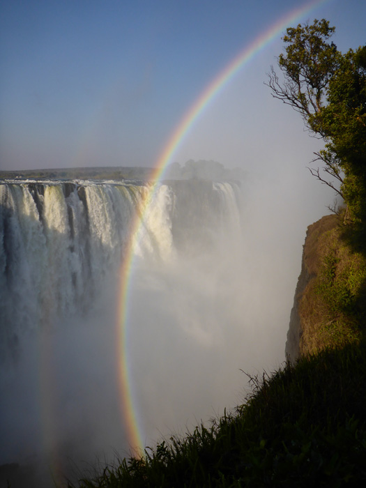
I visited both parks, Mosi-ou-Tunya (the smoke that thunders) National Park in Zambia and Victoria Falls National Park in Zimbabwe, the first thing you notice is the noise of the falls, one million litres of water go over the falls every second! The paths go right along the edge of the falls, the views are amazing (when the mist isn’t too heavy), you could see right over the edge and over to the Angels Pools on Livingstone Island. I got drenched by the spray from the falls in both parks, but the rainbows were very pretty and almost went round on themselves.
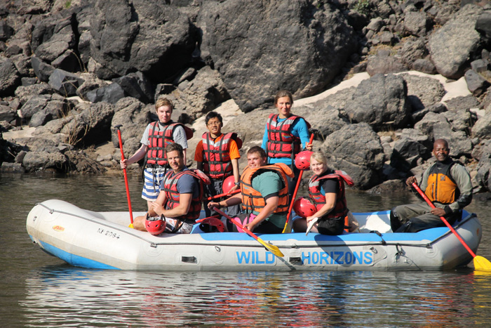
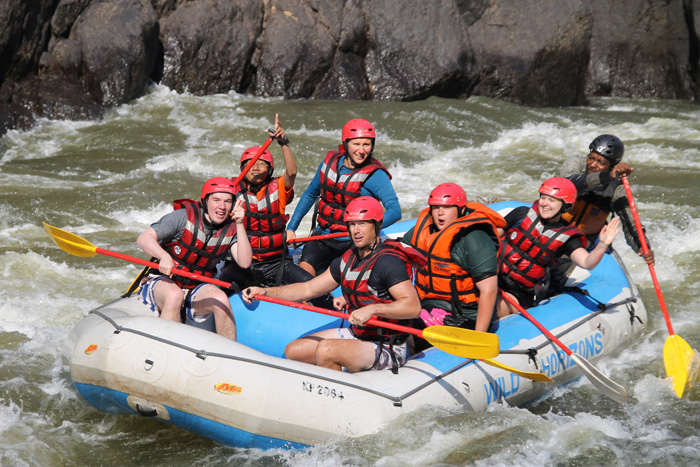
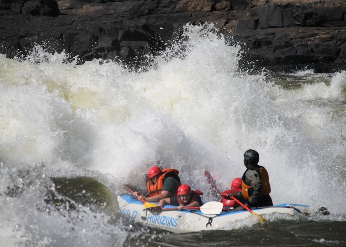
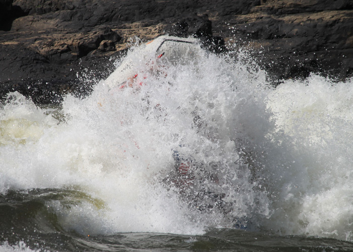
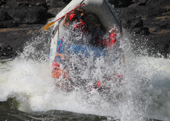
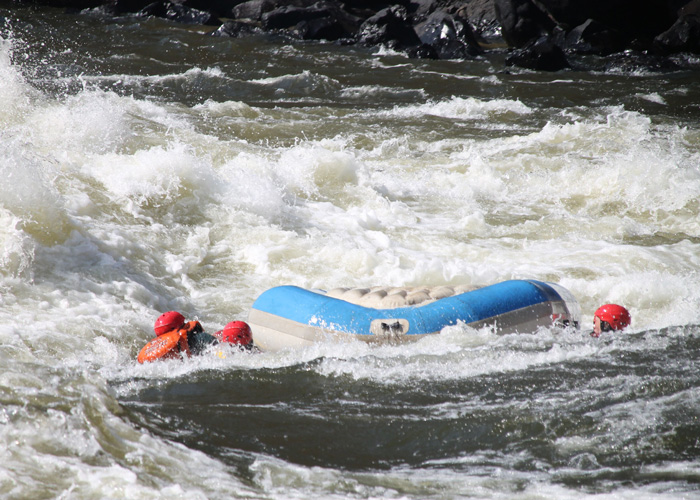
On our last day, we went rafting on the Zembezi River, from rapid 11 to 21. The water was too high to start from rapid number 1, but from what our guide told us, it is mainly grade 5 rapids and not many groups stick out the first 10 rapids, never mind the entire river! After a quick safety briefing and instruction on paddling and working as a team, we were off. The first few rapids were pretty easy going and we soon got into the swing of things, the scenery in the gorge was beautiful and very tranquil. That was until we came up against a grade 5 rapid called “Terminator 2”, as we paddled into it, our guide shouted get down and then the rapid came at us like a wall of water, it just swallowed us up, flipped us over and spat us out the other side… We all surfaced eventually, I was underneath the raft, which was upside down still, so we flipped the raft and pulled one another back onboard and continued down river. The rest of the rapids were nothing more than grade 3, its took us a few hours to get to rapid 21, then we had a half hour walk out of the gorge for some lunch. It was such great fun!


Matobo National Park, Zimbabwe
- On July 17, 2014
- By victoria
- In Africa, Zimbabwe
- 0
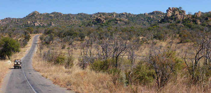
We stayed at a camp called Burkes Paradise just outside of Bulawayo, Zimbabwe’s second largest city after it’s capital, Harare. It was an hours drive to the Rhodes Matobos National Park (425 sq km), we were visiting the park with African Wanderer Safaris, our guide Iain, who had been taking safaris in the park all his life, was extremely knowledgable about the park and it’s animals, specifically the rhinos, he had grown up watching some of the rhinos we saw, he had seen them born, grow up and have offspring of their own.
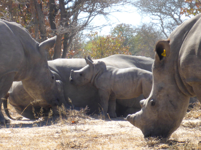
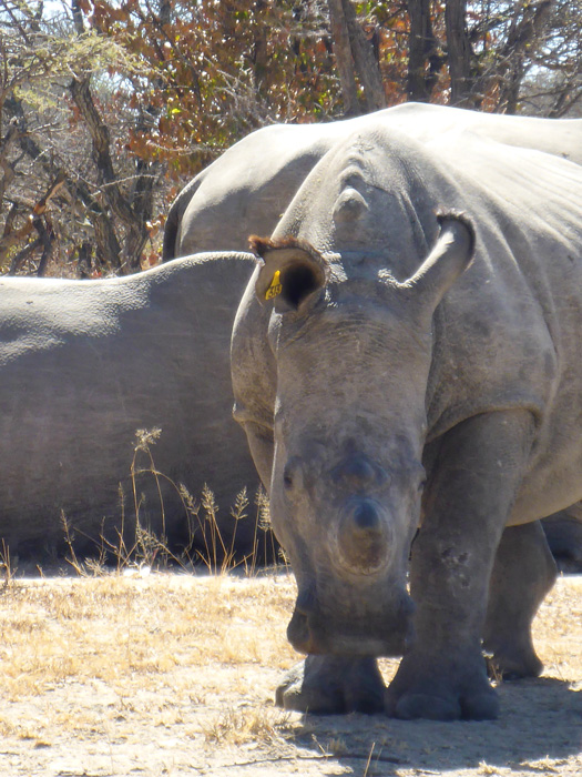
Once inside the park, we were given some inside info by the park rangers as to the whereabouts of a crush (name for a group/herd) of white rhinos, so we parked up our 4×4 and headed off into the bush on foot, we had to walk in a single file line and be very quiet, and once we found rhino we had to crouch down while viewing them, so that we were less dominating and blend more into the scenery (we had also been told to wear clothing that blended into the landscape, no bright colours, or white). Within fifteen minutes of walking, we were about 10 meters, if that, away from 7 adult and one baby white rhino. One of the females was heavily pregnant and due to give birth in the next few weeks. They were all happily grazing, and not bothered by our presence, it was approaching midday an extremely hot, so after a while of watching them they all lay down in the shade of the trees and relaxed. The baby kept wandering around nuzzling each of the adults as if to make them play, but they weren’t interested, then mum and baby moved on. The rhinos were aware of our presence, looking straight at us and walking towards us (we would slowly have to shuffle backwards, still in the crouching position), but they never seemed bothered or aggressive.
The rhinos we saw all had their horns humanely taken off by the park in an attempt to prevent poaching. This had worked to a certain extent, but unfortunately the poachers have still poached a number of the rhinos for even the smallest stump of horn. Rhino horn is the same as our fingernail, but in Asia it is thought to be an aphrodisiac and is sold for huge amounts of money.
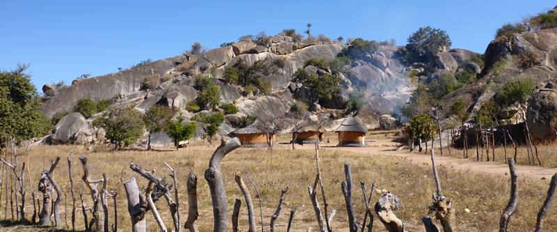
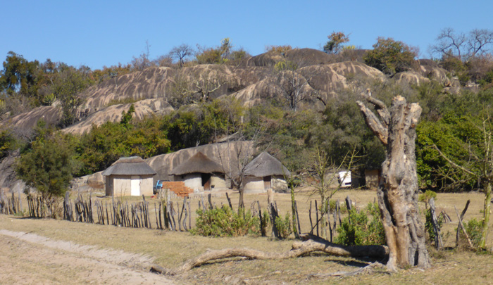
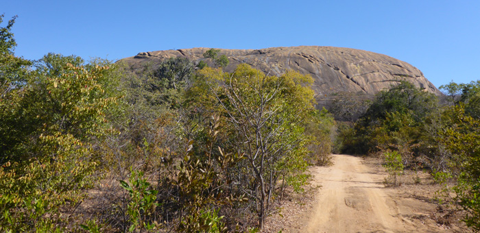
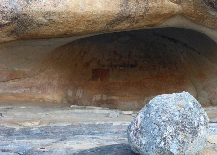
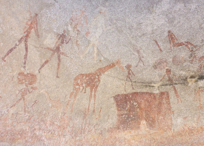
We drove south through the park to Silozwi village, where we walked up Silozwe a huge granite rock, to a rock art cave called Silozwane Cave, one of 3000 officially registered rock-art sites in the park. Here we could clearly see a number of drawings of people, animals and villages, these paintings had been done by bushmen over 60,000 years ago, these painting are like the diary of a bushman, what he has seen and hunted in the area, such as rhino, kudu, elephant, lion, impala, lizards, snakes giraffe, leopard, sable and fish. The paint is made with hematite, limonite (two types of rock) and ash, the rocks are crushed and mixed with ash and charcoal to make the colours, then mixed with urine and bile, the acid from the gallbladder (the only part of an animal that bushmen don’t eat) eats and etches into the rock allowing the paintings to last for such a long time.
Ian has studied the bushmen for over thirty years, met them and spent time with them. Today there are less than 3,000 busmen still alive, living the same lifestyle they have always lived, sadly there are only 43 left in Zimbabwe, Botswana has 250, Namibia has 2,500 and Angola has 100. An interesting fact Ian shared with us was, that a bushman’s body has adapted to have a fat storage area, in the buttocks, which will significantly enlarge and deflate. When he hunts, he will only kill enough food that he and his family can consume in one sitting, this sitting may take up to 36 hours, they will eat and sleep, eat and sleep till the food has been consumed and their fat stores are full and no food is left. There are records of a single bushman eating upto 20kg of meat in a single sitting. Bushmen are small, on average 4ft 6” in height, eating this amount of meat could be up to half their body weight! It can be up to 10 days or two weeks till he kills again, in that time he’ll eat berries, nuts, seeds, snakes, lizards, but nothing big like an antelope, impala or zebra.
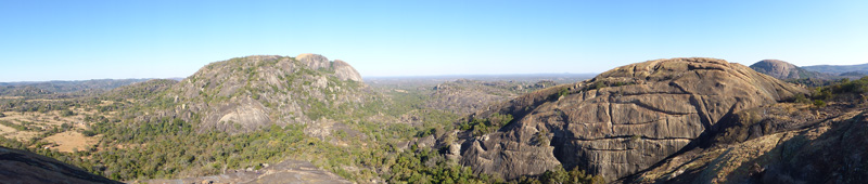
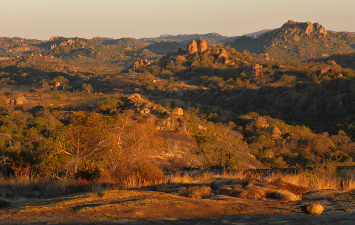
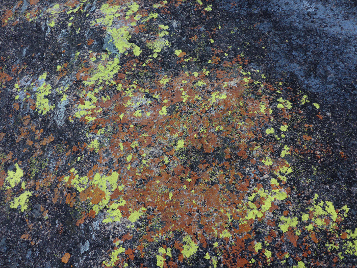
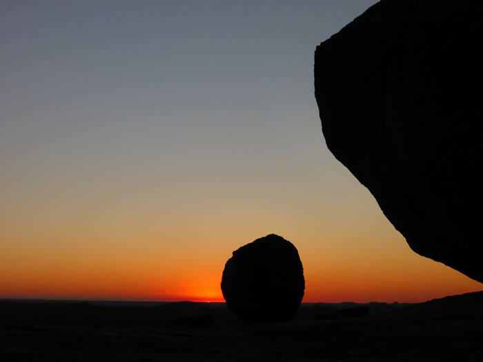
The landscape of the park itself “The Matopos” (meaning bald heads (like the rocks)), which has in recent years been named a Unesco World Heritage site, is dominated by huge granite boulders covered in brightly coloured lichen, balancing on top of one another. The view from the top of Silozwe was beautiful and stretched for miles, you could see all the boma’s of Silozwi village.
At sunset we visited the historic site of World’s View (Malindidzimu Hill), which gave the most most striking views and had massive boulders just perching on the top. Right on top is where Rhodesia’s founder Cecil Rhodes’ grave site is (Zimbabwe and Zambia used to be Rhodesia).


House boating on Lake Kariba, Zimbabwe
- On July 12, 2014
- By victoria
- In Africa, Zimbabwe
- 0
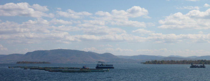
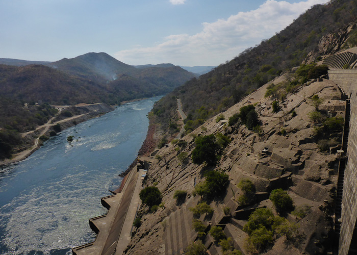
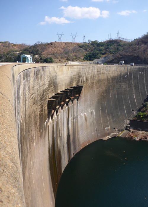
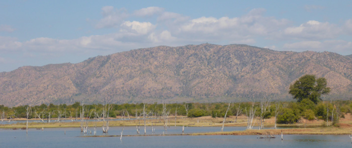
Sitting on the border of Zambia and Zimbabwe, Lake Kariba is one of the largest manmade lakes in the world, covering an area of over 5000 sq km, at it’s deepest it is 126m. The lake that is fed by three rivers, the main being the Zambezi, was created in the late 1950’s in conjunction with the Kariba dam to create electricity for the surrounding areas in both Zambia and Zimbabwe. Before the lake was created the land was farmlands and villages, all the residents were relocated to higher ground before the land was flooded.
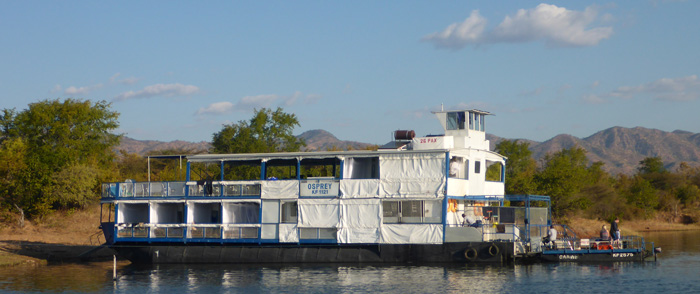
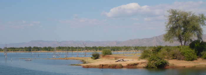
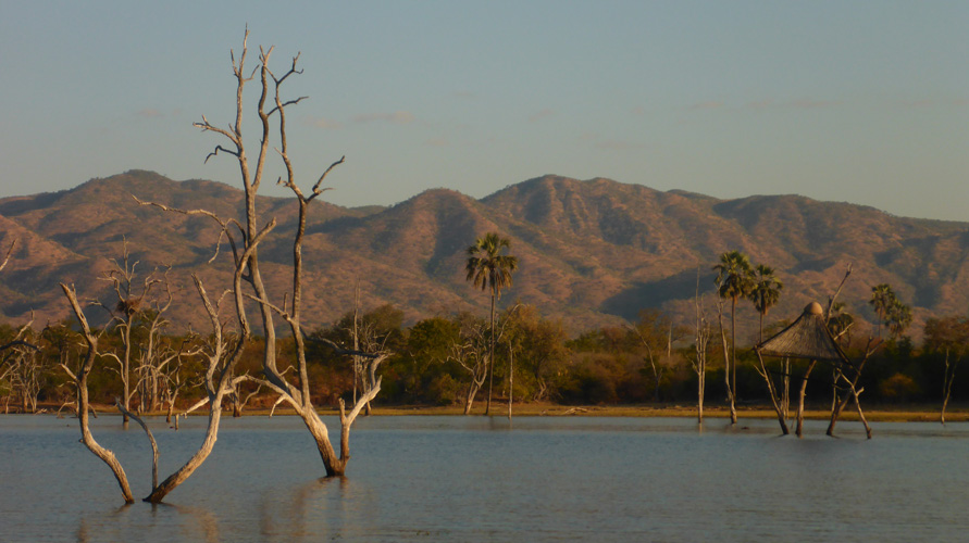
Our boat was called “Osprey”, run by Lake Kariba Houseboats, slept a maximum of 26 people, some of the other boats can sleep from 12 – 40 people. Our first night was spent on the North shore of the lake, where we went for a sunset boat ride. The second night we moored on the Southern lake shore in the Matusadona National Park, from here we took dusk and dawn boat trips to see the wildlife, the park does have the big five and elephants are regularly spotted, although we didn’t see any. The lake is dotted with islands and on the South shore you can see mountains and forests.
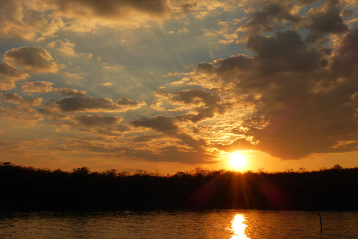
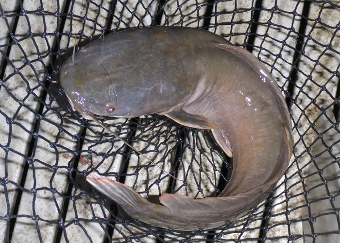
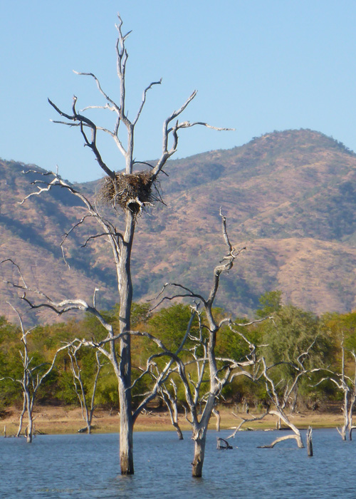
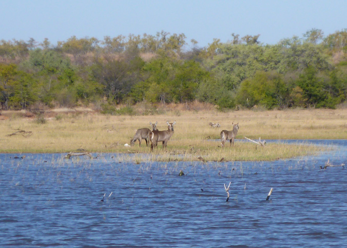
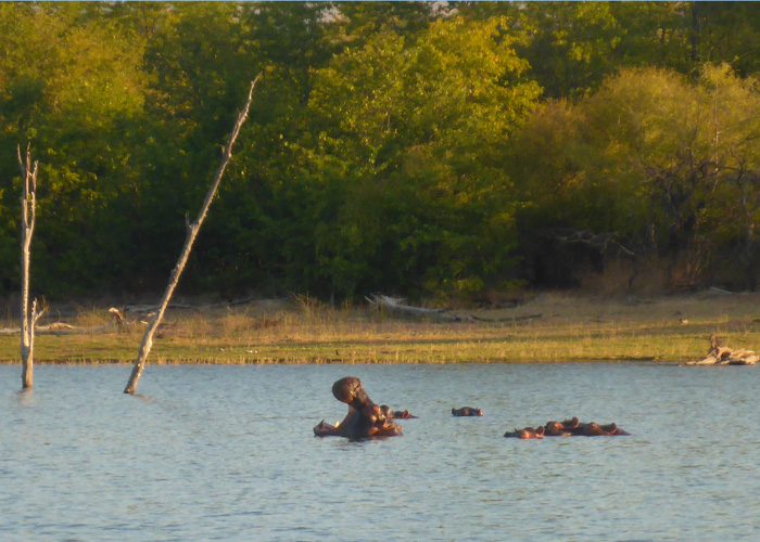
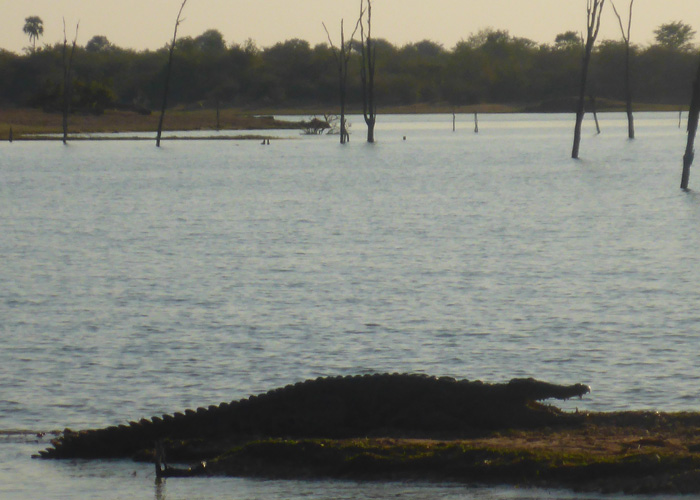
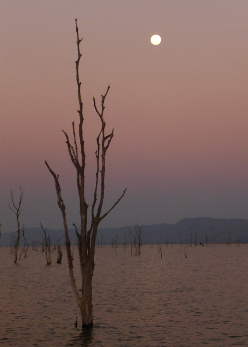
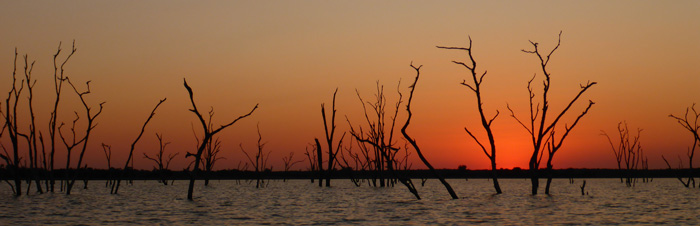
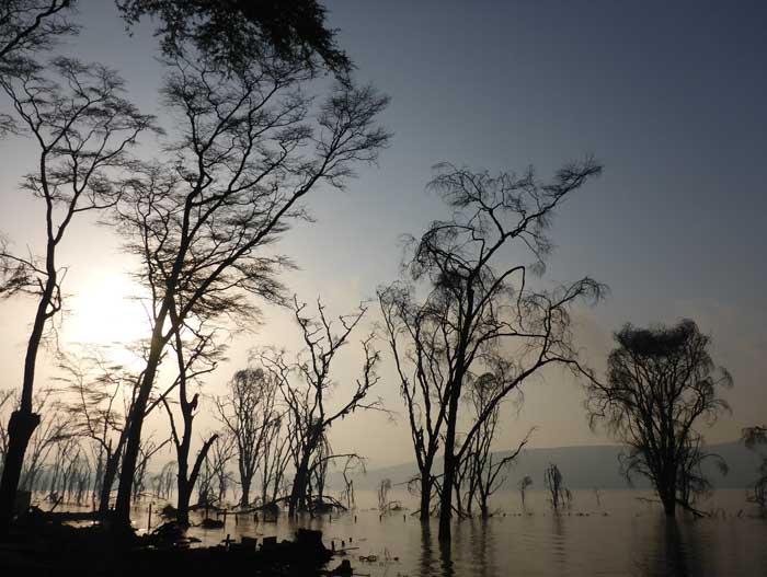
In the shallows and along the lake shore you can see skeletons of trees still standing, from before the lake was created, where fish eagles have built their nests, you also see lots of cormorants fishing alongside pods of hippopotamus poking their heads out of the water and crocodiles lazing on the shores. We also saw a few impala and waterbuck on the shores. Most of the animals that live in and around the lake are native to the area, only a few species of fish were introduced when the lake was created. We didn’t swim in the lake because of the hippos and crocs, but the houseboat had a small cage at the back that was lowered into the water to allow you to cool off in the water. Just last week a crocodile took and killed a guy from the shore who was tying up his boat.

Walking and horse riding in Malawi
- On July 07, 2014
- By victoria
- In Africa, Malawi
- 0
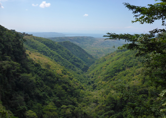
We stayed at Hakuna Matata camp in Chitimba for a couple of nights, then Kande Beach camp in Kande for another two nights. Both of which sit on the the shores of Lake Malawi, Africa’s third largest, nicknamed the calendar lake because it it 365m long by 52m wide, it sits in a trough formed by the Great Rift Valley.
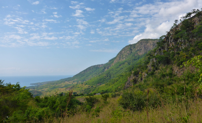
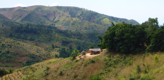
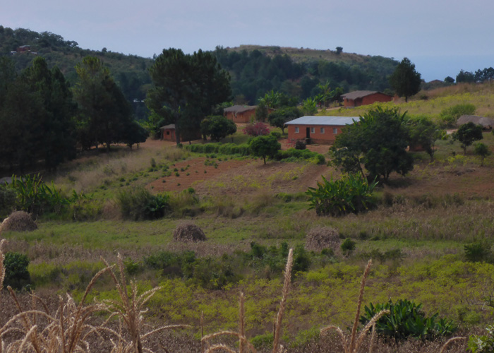
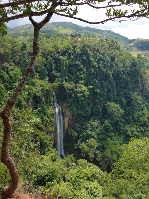
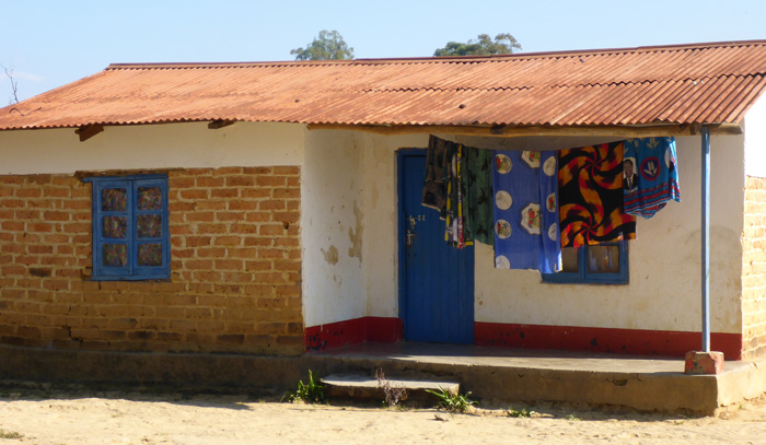
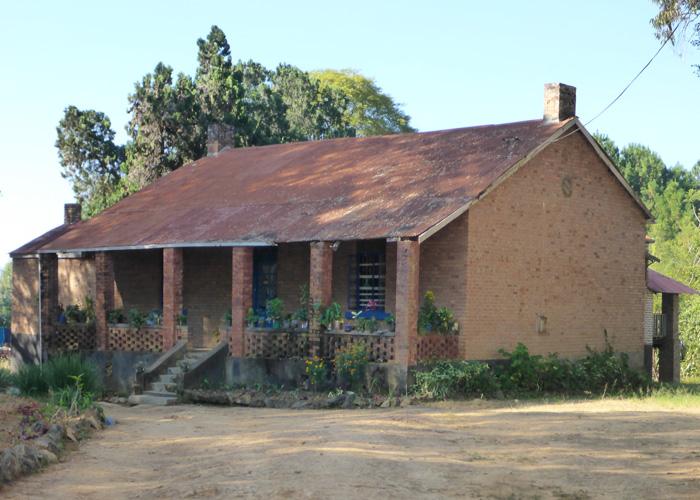
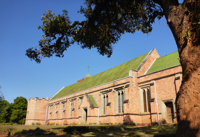
From Chitimba we walked to nearby Livingstonia which was a 30km round trip, up a zig-zagging track through thick forests and onto an open plateau. Livingstonia was built in 1884 by missionaries and named after Dr David Livingtsone, the Scottish explorer. It is a very picturesque place, with lots of colonial style buildings alongside traditional African buildings and mud and thatch huts. En route to Livingstonia we saw Manchewe Falls, which is where, according to local stories, people hid in the caves from the slave traders.
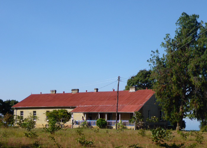
We visited Stone House Museum, the original home of Dr Laws, the museum tells the story of European arrival in Malawi, it is now a national monument and also has an accommodation wing. The nearby mission church, dating from 1894, has beautiful stained glass windows featuring David Livingstone with his medicine chest and two travel companions.
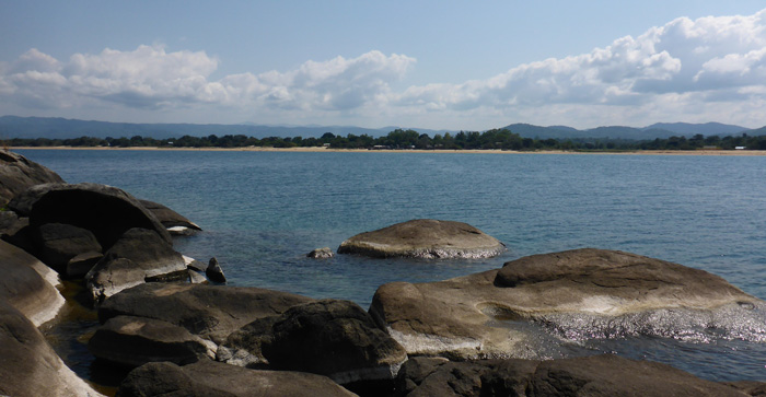
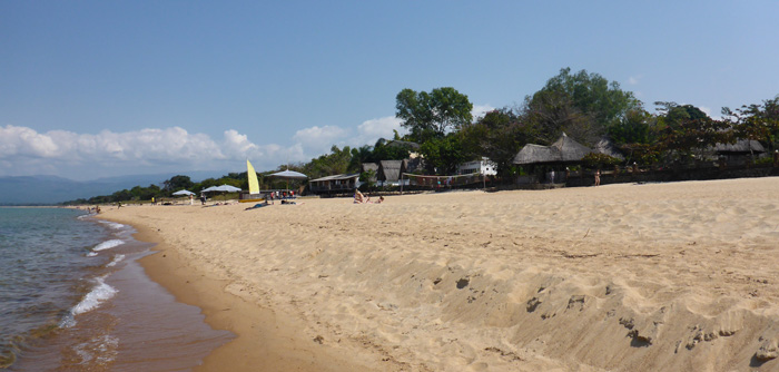
Kande Beach camp was right on the edge of Lake Malawi and there was a little island just off the shore, I took a swim to it to explore and get a view of the lake shore and surrounding hills, about 40 minute swim there and back. There were lots of water based activities available, like scuba diving, snorkelling, pedalos, sailing and canoeing.
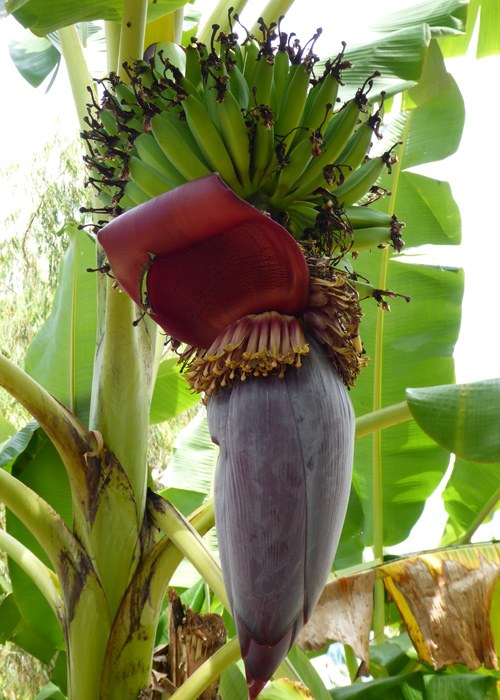
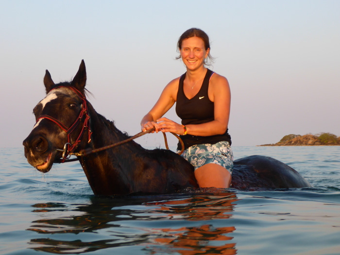
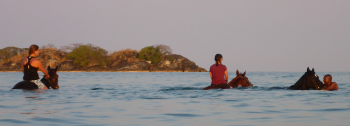
At Kande Beach I went for a 3 hour horse ride with Kande Horses, the stables were lovely and the horses well kept, run by a guy from Birmingham, UK, who has lived in Malawi for over 13 years. We went through the local villages and back into the forrest and farmlands. Most of the crops we saw growing were sweet potato, banana and cavasa, which is a root vegetable eaten by locals, it is dried and then ground into a flour which is then cooked with water into a thick porridge like meal. We ended our ride on the beach and went swimming with the horses, I have never done it before and it was great fun!

Stone Town and Kendwa Beach, Zanzibar
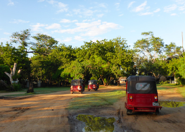
We left our camp just south of Dar es Salam in Tuktuks (a trike with a covered seat for two in the back) to head for the Zanzibar ferry, in what can only be described as whacky races!
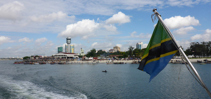
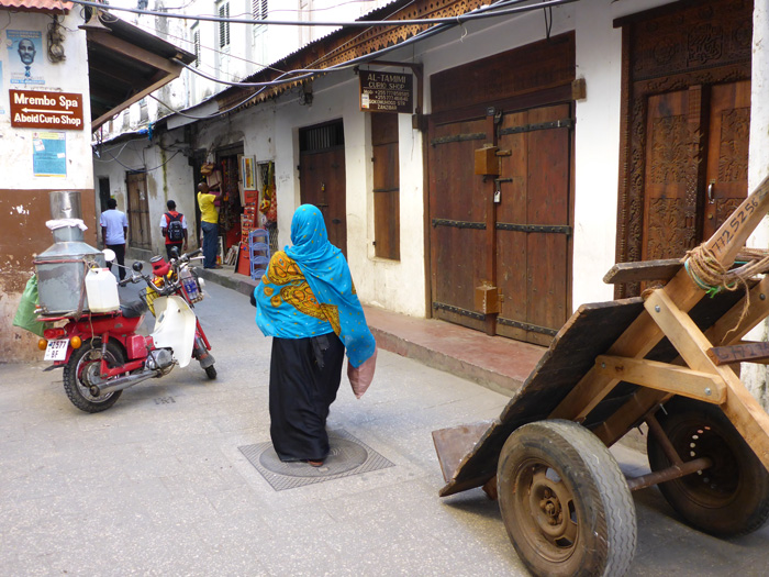
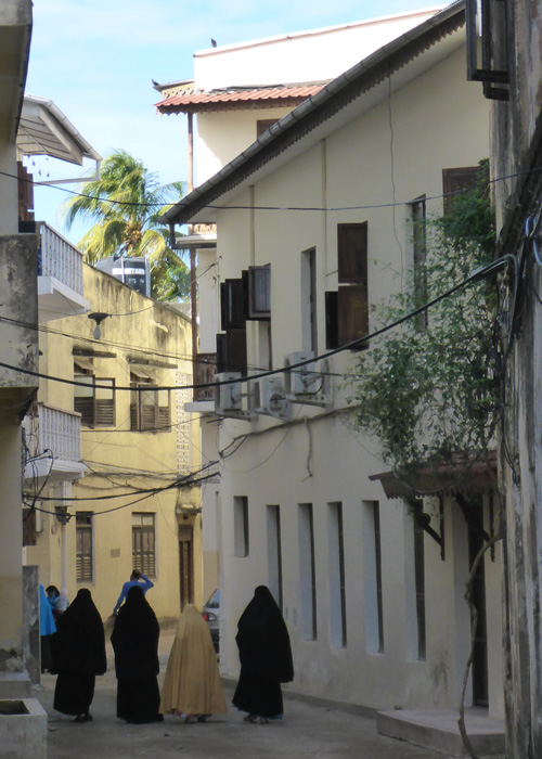
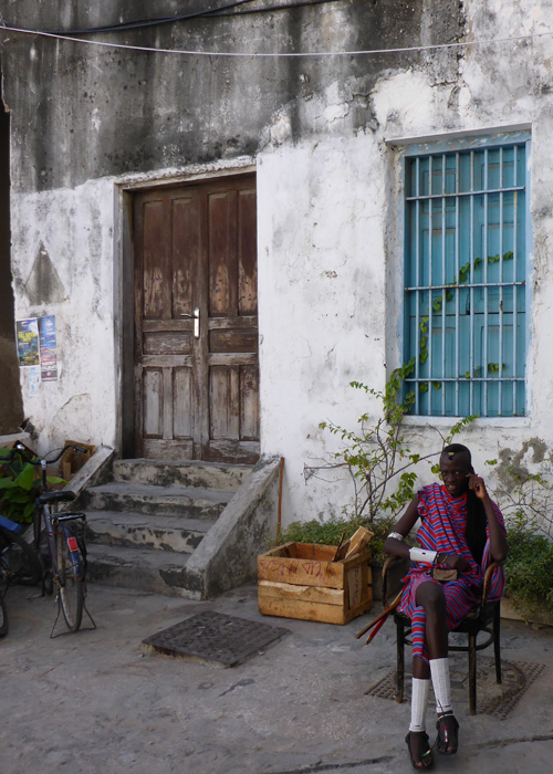
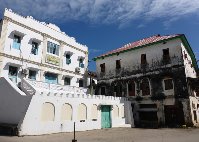
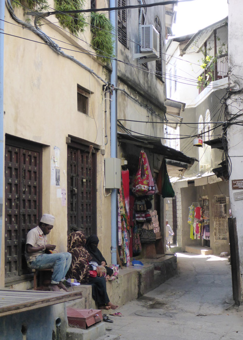
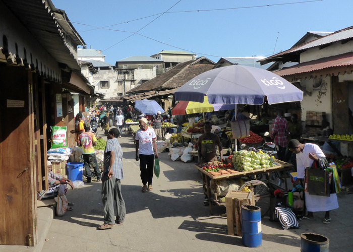
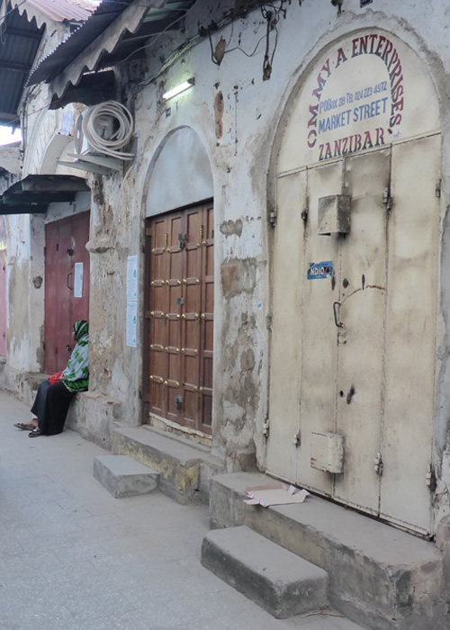
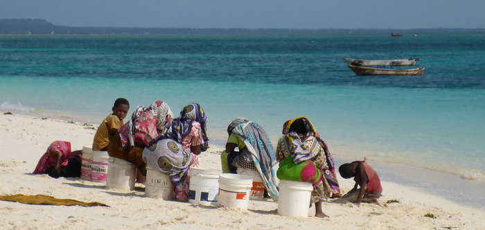
Zanzibar sits in the Indian Ocean just off the coast of Tanzania, a beautiful one and a half hour ferry ride from Dar es Salam, Tanzania’s capital city. We were staying at Safari Lodge in Stone Town, the old section of Zanzibar Town. Stone Town is made up of a maze of narrow winding streets and alley ways, lined with lots of curio shops selling clothes, material, jewellery and wooden carvings. It was very easy to spend hours wandering around visiting all the shops.
Zanzibar has a large Islamic population and it was the start of Ramadan when we arrived, meaning we could not eat or drink on the streets during the day and we had to be respectful of what we wore. Women had to wear trousers or a long skirt and make sure our shoulders were covered. In Stone Town, you could be arrested for eating or drinking in public during Ramadan, but it was a lot more relaxed when we got to Kendwa Beach on the North of the island. You could regularly hear the call to prayer echoing round the town from the many mosques.
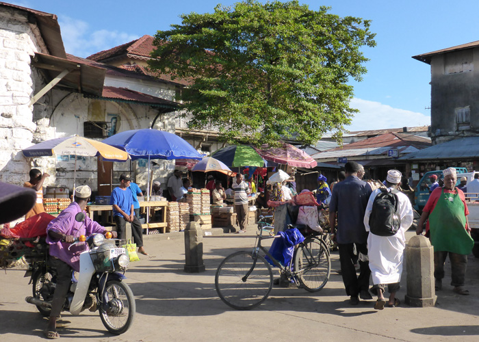
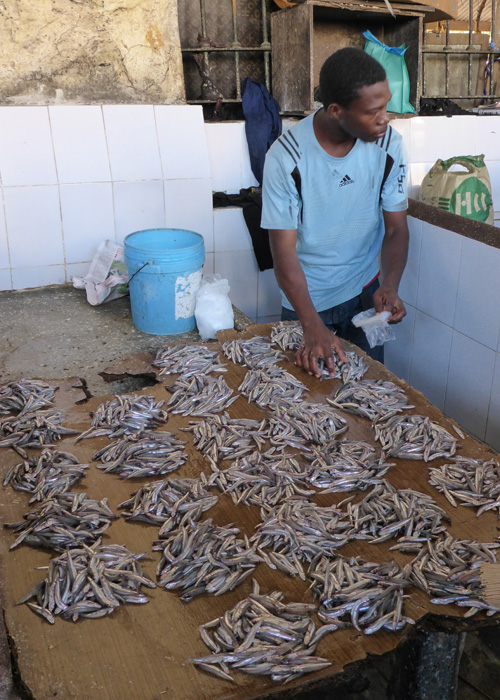
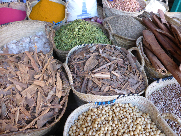
Every morning at the main Daranjani Market on Creek Road you would find the locals selling the daily catch in the fish hall, here you will also find the meat market, with entire carcasses for sale, a place to avoid if you get queasy at the sight of raw meat or have a sensitive nose! Behind the Daranjani Market hall is the spice market, selling all sorts of spices farmed on Zanzibar, there is not an overpowering smell of spices as you may expect, as a lot of them are packaged in small plastic bags, but you can still enjoy lots of different smells.
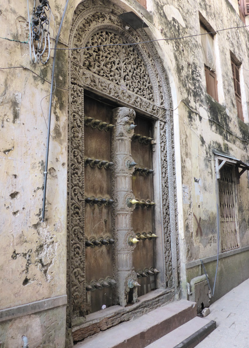
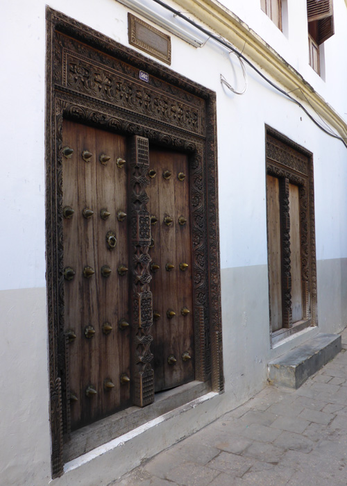
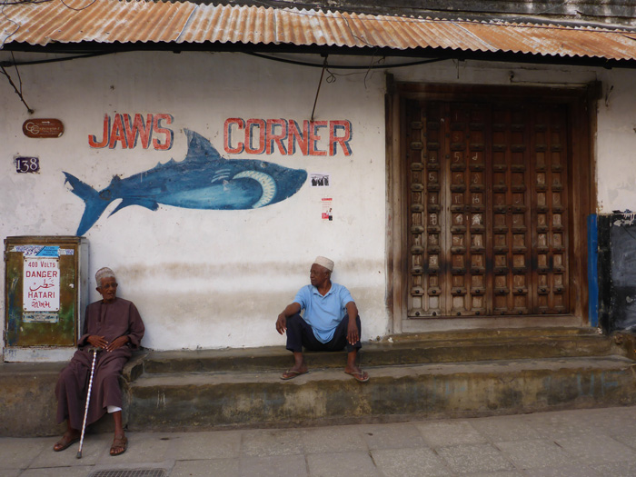
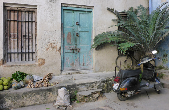
Stone Town is known for its elaborate carved doors, there are more than 500 still in Stone Town today, many are much older than the buildings they are set in. The door was often the first part of the house to be built and indicated the wealth and status of the family. Arabic doors have a square frame, while newer Indian influenced doors have an arch on top. Some of the doors have large metal spokes on them, this comes from the Indian influence and was to stop elephants battering down the door. A common feature around the streets of Stone Town is the “baraza”, a stone bench outside the front door facing onto the street, it serves as a meeting place for socialising.
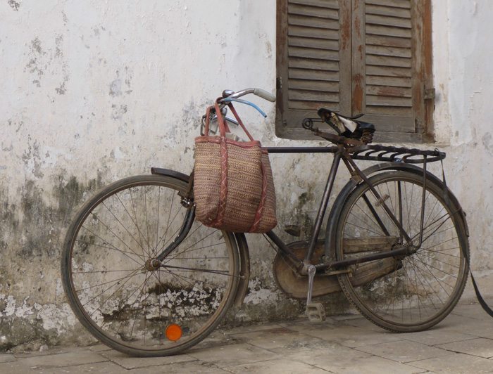
Despite there not being many cars in the narrow winding streets of Stone Town, you had to be careful not to be mowed down by a passing scooter, bicycle or cart of which there were lots!
Zanzibar has a history of being a major port for slave trading back in the 19th century, from as many as 10,000 to 50,000 slaves were passing through every year. Close to 600,000 slaves passed through between 1830 and 1873, when a treaty with Britain ended the trade. We visited an Anglican Cathedral which now sits on the site of the Old Slave Market, beside which there is a memorial.
Zanzibar is well known for its spices, with plantations scattered across the island, but they no longer dominate the economy. We visited a plantation and where shown lots of plants from which spices come from, which was very interesting. Zanzibar still produces cloves, black pepper, cardamon, cinnamon and nutmeg, also breadfruit, jackfruit, vanilla and lemongrass.
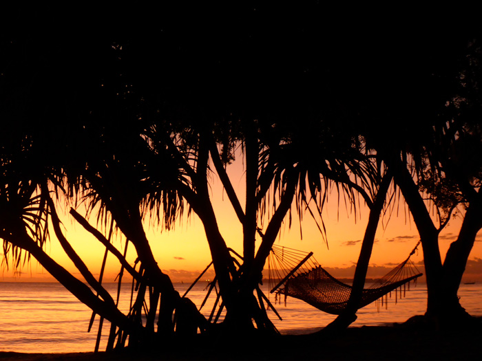

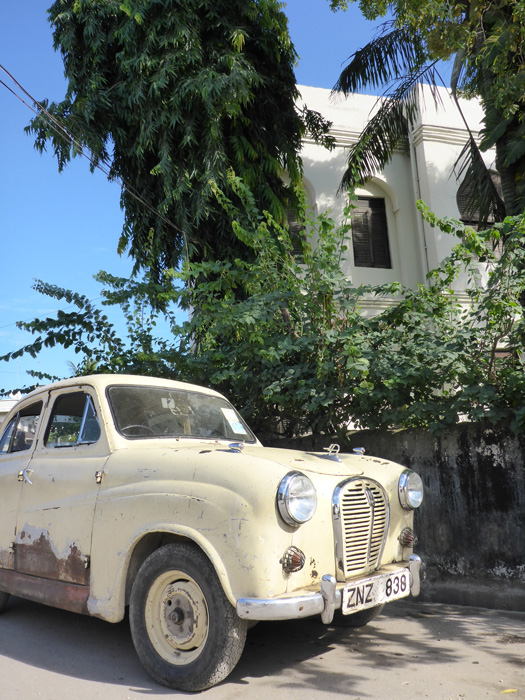
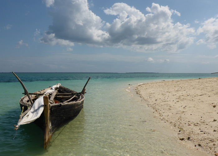
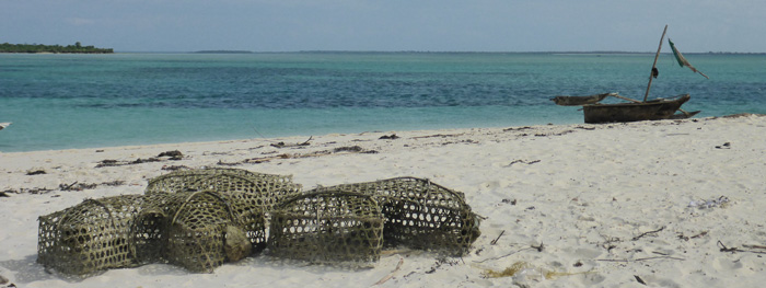
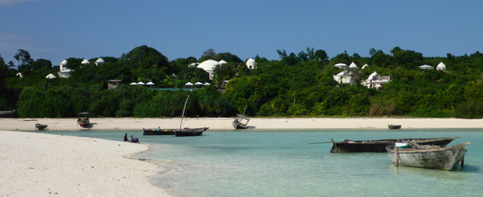
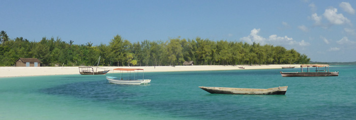
After a day in Stone Town we headed North to Kendwa Beach, where we stayed at Sunset Bungalows. Based right on the beach front, it was a two minute walk to the white sand beaches and turquoise waters of the Indian Ocean.
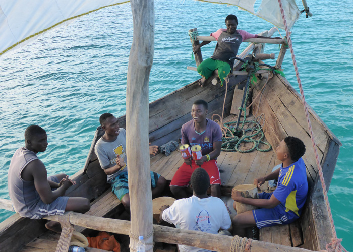
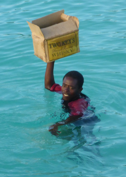
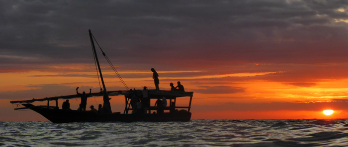
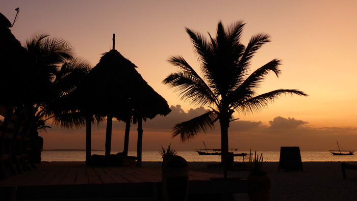
We took a relaxing sunset cruise on a traditional Dhow along the coast, while listening to the crew singing “Jambo Bwana” and other African songs, as they played on drums and with maracas made from old tin cans on sticks.
Kendwa was a time to relax, swim in the warm ocean and take long walks along the beautiful long beaches.
Serengeti National Park and Ngorongoro Crater Conservation Area
- On June 25, 2014
- By victoria
- In Africa, Tanzania
- 0
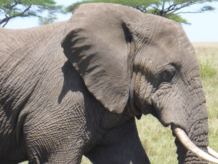
We went on safari with Green Bee Eaters, our driver Dio was very knowledgable about the local areas and kept providing us with useful information throughout our trip.
We were picked up early from Maasai Camp in Arusha. The Arusha region has a population of 1,000,000, the second largest in population after Dar es Salam, Tanzania’s capital. It’s main tribe is the Meru after nearby Mount Meru, and then Maasai, these are two of the over 100 tribes in Tanzania. The two main religions in the area are Christian at around 60% and Islamic. The Arusha region relies mostly on agriculture and exports a lot of it’s produce overseas, either through Nairobi or Dar es Salam.
En route to the Serengeti We drove through Kisongo just outside of Arusha which was bustling with locals, it hosts a Maasai market a few days a week, where the Maasai bring cattle for sale and trade. Driving on to Makuyuni where we turned right and onwards through Mto wa Mbu and Karatu and past Lake Manyara National Park. The landscape was lush, green and hilly, with fields growing corn, coffee and sunflowers. We drove over the great Rift Valley, which stretches from the Red Sea to Mozambique. All along the way there were lots of curio stalls selling the usual crafts and jewellery, and loads of canvas paintings which I hadn’t seen in Kenya, the paintings were beautiful!.
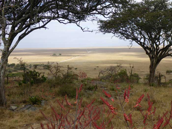
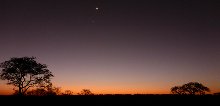
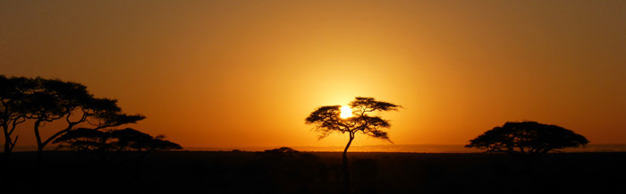
When we entered the Ngorongoro Conservation Area it was like stepping into the jungle, due to the rainy weather we were driving through the clouds, very atmospheric. The road was stones and red mud. Once we rounded the crater to the west and the Serengeti, the clouds starts to lift and the rains stopped. The difference in the landscape was clearly noticeable, from lush forests to dry plains, covered by whistling Acacia bushes and Acacia trees, almost in the blink of an eye. This is caused by what is locally called a “rain shadow” the warm air from the Indian Ocean hitting the mountains and rising up, causing clouds, and rain to fall.
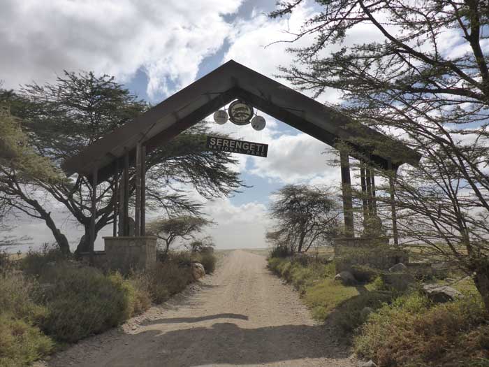
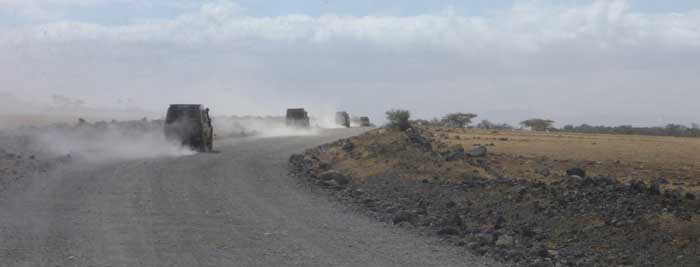
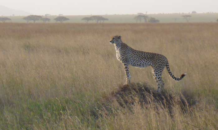
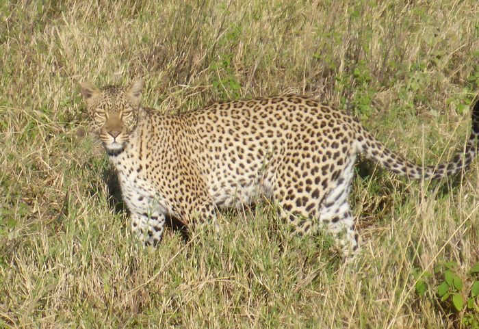
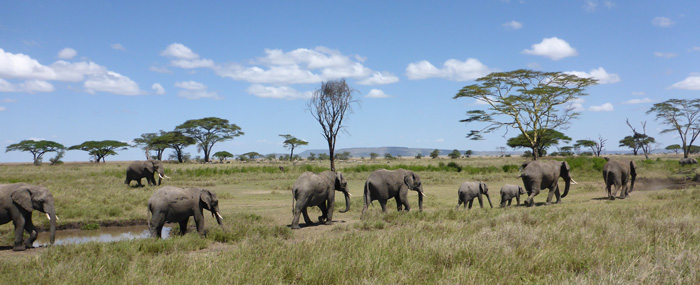
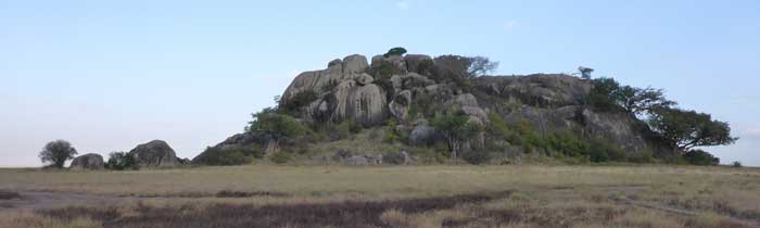
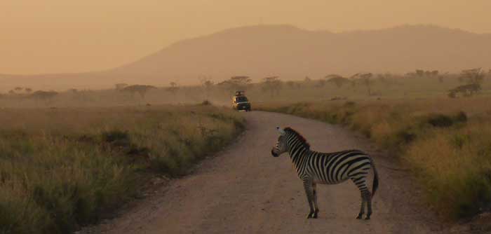
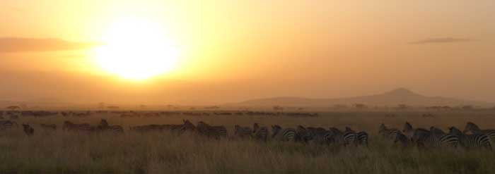
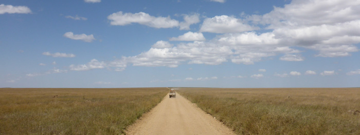
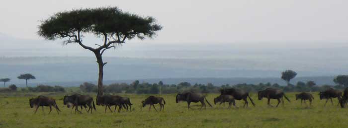
The road from the crater to the Serengeti was rough, bumpy and very dusty, but great fun! The Serengeti gate was just a gate in the middle of nowhere, but full of character. Once we got into the park we got to see a pride of fifteen lionesses and cubs relaxing in the long grass beside a watering hole. The landscape was very flat, but there were a few rocky volcanic outcrops dotted around, these are the best places to see lions. We were very lucky to see a Cheetah wandering along beside the road. We saw lots of zebra and wildebeest herds, most likely heading to the Maasai Mara on their yearly migration, the zebra lead the wildebeest in the migration.
We stayed at a basic camp in the Serengeti called Tumbilu, zebra and wildebeest were wandering about outside our tents all night long and we could easily hear their calls to one another.
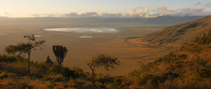
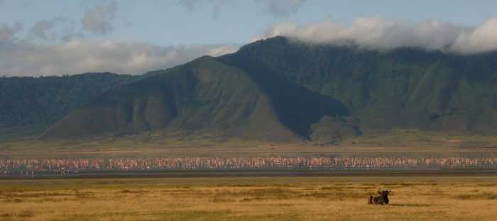
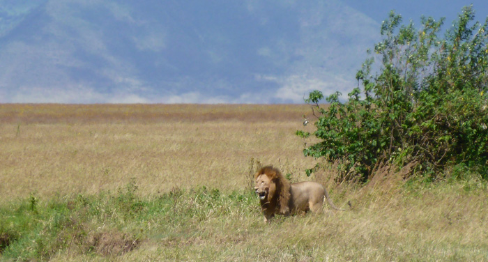
We stayed at Simba Cmp on the crater rim and drove into the creator early in the morning. There were lots of flamingos feeding in the lake, with herds of zebra and wildebeest on the the lake shores. After a few hours in the crater we saw a male lion stalking an injured lone buffalo, we didn’t see a kill, but the buffalo’s days were definitely numbered. Then we saw three male lions pursuing a female lion, they were so close to our trucks it was amazing to be able to see them in so much detail.
The Ngorongoro Crater is 260 sq km, with a depth of 610m and diameter of 19km and 23km. Ngorongoro means big hole in Maasai. The lake inside the crater is called Lake Magadi and is home to flocks of flamingo. The crater was created by the collapsing of a mountain bigger than Kilimanjaro. The difference between the Serengeti National Park and Ngorongoro Conservation Area is that people can live in the conservation area but not in the park. 8000 Maasai live in the conservation area, but are not allowed inside the crater.


Visiting the Maasai Mara National Reserve
- On June 22, 2014
- By victoria
- In Africa, Kenya
- 0
We drove from Lake Naivasha to the Maasai Mara National Reserve via a town called Narok, the roads were pretty good and we got to the park in the early afternoon.
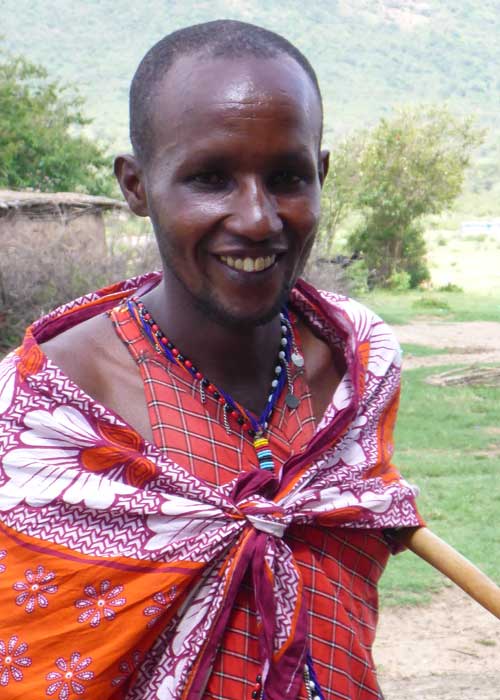
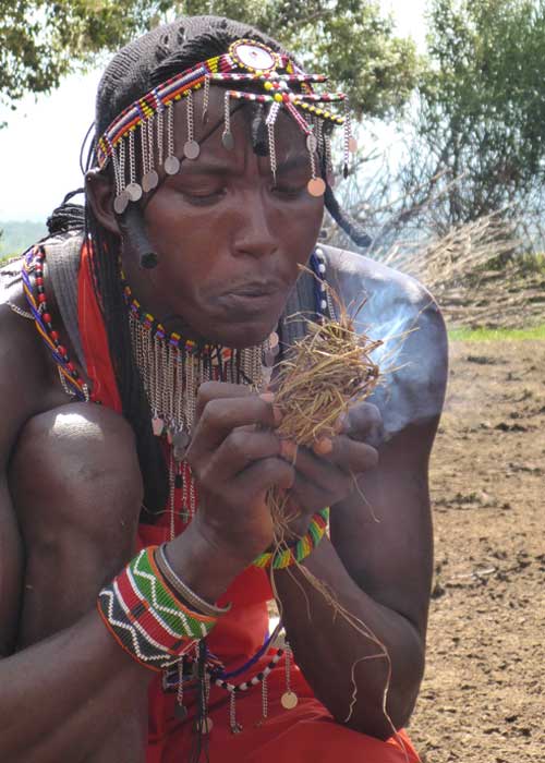
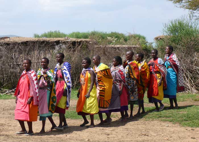
En route we visited a Maasai enkang (village) just outside the park, the local men were dressed in their traditional Maasai Shuka’s, Kanga’s and beaded jewellery and head ware. The head of the village talked to us about life in the enkang and then we were welcomed by the men with a Maasai welcome dance, where jumping as high as you con shows off your prowess in the tribe. Then the ladies of the village came out dancing and singing in a line and took our hands one by one and led us all, dancing, into the enkang.
The women are responsible for building the huts, caring for the children, collecting water every day and cooking. The men build the fences and walls round the enkang and tend the cattle, sheep and goats on the land.
We were shown round the mud huts and told how they were built, by using sticks as the main structure, with grasses, mud and cow dung to make the walls, the roof was made with sticks and grass, but there is also tarpaulin used to add to the waterproofing. Inside was very dark, with only a few windows. There was a room to keep the young animals in at night then a main living area with a ire for cooking in the centre, at each side there was a bedroom, one for mothers to sleep with the girl children and one for the men to sleep with the boy children. Once a child hits 13 years old, they go and stay with their grandparents.
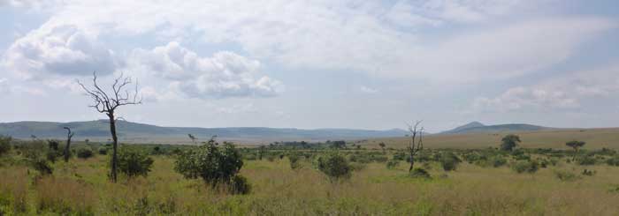
We entered the Maasai Mara through the Sekenani gate at the North/West, called the Sekenani sector of the park. As soon as we were in the park we saw herds of Wildebeest and Zebra, the migration had already started, where they travel to the Mara from the Serengeti and would continue to do so for a couple of weeks. The weather had clouded over a bit, but this made for a very atmospheric start to our two days of game drives. The Maasai Mara is 1510 square kilometres and sits right up against the border between Kenya and Tanzania and is an extension of the even larger Serengeti in Tanzania.
There were maybe another 15 safari vehicles that we saw, you could always tell when one of them had spotted an animal as they would gather round it. There was supposed to be a limit of 5 vehicles viewing an animal at once, this was stretched a little, but when another vehicle showed up, the first there moved away. You weren’t allowed to get too close to the animals or harass them. There was a main grit road through the park and a few side roads, but going “off road” wasn’t allowed and the driver would get a hefty fine if caught doing so.
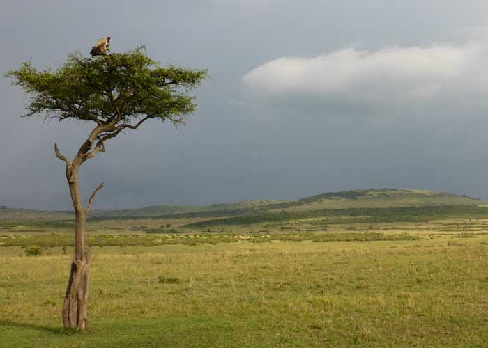
We saw two lionesses lazing in the grass beside some rocks and bushes, then we noticed a wildebeest caracas hidden in the bushes. We watched for a while and one of the lionesses headed to the buses and started eating the wildebeest, we could see her pulling at the caracas and ripping it apart, we were so close you could hear her chewing. We saw a number of vultures soaring overhead, sitting in trees and some scavenging off the caracas of a wildebeest.
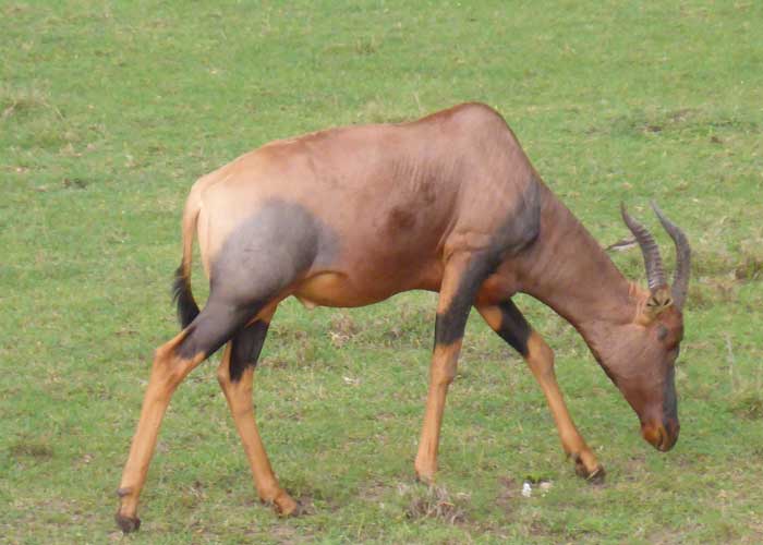
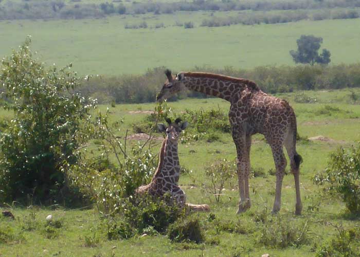
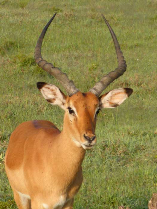
We stopped to watch a couple of elephant herds wander past, they were a couple of hundred meters away from the road, we saw a few ostrich pairs and lots of giraffes eating feeding on the Acacia trees, we saw quite a few young giraffes. There were lots of gazelle, antelope and a few Topi.
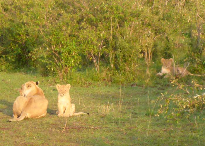
We stayed in the Aruba Mara Camp for a couple of nights, it was a nice camp at the Talek gate. On our last morning game drive we didn’t see much as it was raining, but once the rain stopped we saw two lionesses relaxing while their two cubs played together in a small clearing amongst the bushes.





Biking in Hell’s Gate National Park
- On June 18, 2014
- By victoria
- In Africa, Kenya
- 0
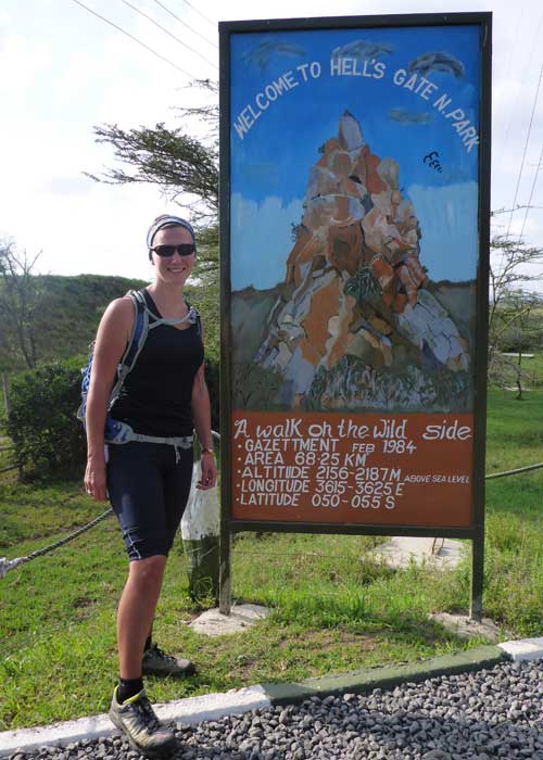
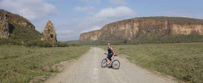
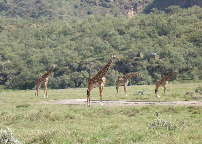
Today we headed to Hells Gate National Park, entering via the Elsa Gate on mountain bikes. Within the first 5 minutes we turned a corner and the view was amazing! Big red cliffs rising up above the plains where there were lots of Plains Zebra, Masai Giraffe and Eland grazing.
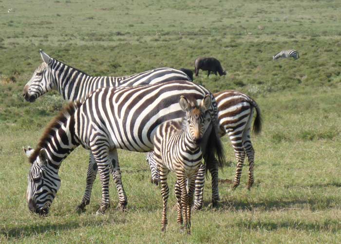
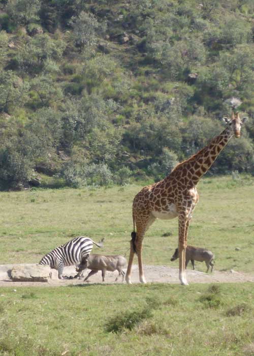
As we cycled through the park we passed through herds of zebra with babies, some of them were cantering around across the road and you could hear their mating calls. We also saw Eland for the first time they are the biggest antelope in Africa, they are huge animals, the males can weigh up to 2 tonnes, but they are still able to move swiftly and jump great heights, sometimes up to 2 meters! There were a couple of manmade watering holes that attracted lots of animals, we saw a zebra trying to get a proper drink while a warthog tried to join it.
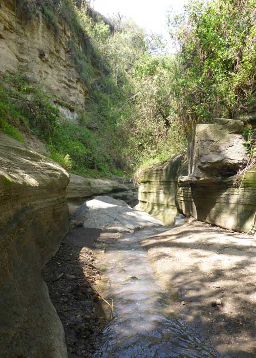
It was about a 15km cycle through the park to the gorge, mostly downhill. The gorge had fascinating rock formations and went on for about 6 or 7km. There was not much water in it, only a trickle in the main gorge. The last time it had a significant amount of water in it was in 2012.





Lake Nakuru National Park
- On June 16, 2014
- By victoria
- In Africa, Kenya
- 0
We visited Lake Nakuru National Park, which is 5km south of Nakuru, Kenya’s fourth largest city and the capital of the Rift Valley Province.
Just inside the main gate you pass the previous main gate which is now flooded, along with the original office block. The long rains in 2012 raised the level of the lake considerably and due to the fact that Lake Nakuru has no outlet, the level hasn’t decreased much since. This has also had an effect on the number of Greater and Lesser Flamingos in the park. There were once 2 million Lesser Flamingos, but the increase in water level lowered the salinity and the flamingos began to disperse.
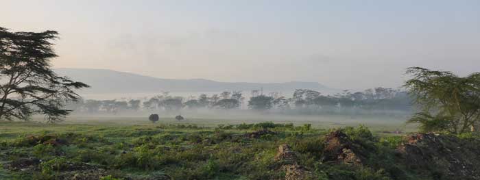
Traveling in a matatu with a roof that raised up so we could stand inside and look out the roof, we got into the park just after sunrise, the mist was still lying heavily on the lake, making for some lovely scenery. We were only in the park 5 minutes and we saw a Lioness and her cub feeding of a caracas! The park is 188 square kilometres and one of Kenya Wildlife Services premiere parks, the other being Amboseli.
The landscape of the park is mostly acacia forest, with open areas, escarpments and cliffs. I saw a lot of reddish brown acacia trees, which looked like they had died. Our guide told us this is due to the floods, acacia trees have shallow roots and if they take on too much water they can’t cope and it kills them.
Hoping to see my first Lion today! We were driving up to Baboon Cliff, I was leaning out the window scanning the bushes for animals. We turned a sharp corner and there he was, lying in the dusty ditch in the sunshine, a young male, about two years old. He had a lovely speckled face, his mane wasn’t fully grown yet, but he had huge eyes staring back at me! When we stopped to look at him he got up and moved into the bushes, but we managed to get a good view of him there. The view from Baboon Cliff looked out over the lake and you could see just how much has been flooded.
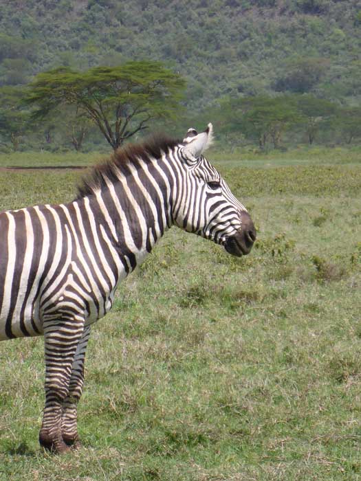
We drove on anti-clockwise round the lake. In the forested areas we saw lots of Baboons and some Vervet Monkeys and on the more open areas we saw herds of Rothschild Giraffe feeding on the acacia trees, quite a few of them had lain down, so all you saw was their neck and head high above the grass. There were lots of Planes Zebra and Buffalo on the open areas, and down by the waters edge there were Yellow Billed Pelicans, Flamingos and Buffalos lying in the water to cool off.
When we got back into the denser forest we saw three White Rhinos, two adults and a baby, grazing on the grass just beside the road. The White Rhino has a flatter snout than the Black Rhino, this makes it easier for them the graze the grass, the White Rhino is also more docile than the black and usually travels in a crush (herd). Later on in the afternoon we saw a lone Black Rhino on his own further in the bushes. The park has lost 25 black rhinos to poachers this year (2014) alone!





I grew up in Nyeri...not too far from Nanyuki. Fond memories. You've described Nanyuki pretty accurately. Glad you enjoyed your…
Hallo.i have reading now ur article. I live 9 years in Nanyuki and like this life and the ppl. Welcome…
Thank you! Glad you enjoyed it and found it useful. I enjoyed the few months I stayed in Nanyuki last…
Hey Mzungu lassie? Very informative info about Nanyuki and the surrounding areas. I've been there once (for a day) and…
Brilliant pics, You must sleep well, whizzing around on quad bikes up & down the dunes and sand boarding.